The next 3 days of our tour take us to the South of Iceland. The wind had picked up overnight in Reykjavik, and Soli (our guide) was concerned that a section of road would be closed at midday.
Travelling with a local is always so valuable. Soli was able to point out Hellisheidi, the newest and largest geothermal power plant in Iceland, 3rd largest in the world, although the majority of Iceland’s power is hydroelectric. The area is known for it’s relatively active volcano, so the smell of sulphur was strong in the air. There is so much hot water in the area that the recycled water is used to heat the streets.
Nearby is the area of Reykjadular, meaning ‘Steamy Valley’. This is a popular hiking place, with natural hot springs, mud pools, and even a hot river! This area was one of the first places in Iceland to use the hot water for greenhouses – producing Icelandic bananas, and also known as ‘Little Amsterdam’ for their (illegal) marijuana crops. This is one of the only towns in Iceland that doesn’t have a cemetery – the ground is too warm…
We then passed through Selfoss, the biggest village in the south of Iceland with about 7000 people. It’s the only town that isn’t by the sea. Apparently it’s known as the uncoolest place in Iceland – really bad bands come from here, there are no hipsters, and it sounds like it’s the home of the ‘bogan’.
We also learned that people aren’t religious, but are superstitious. Some of the population identify as Lutheran, but the majority are atheist or agnostic. More importantly, people will be superstitious of places, people and things that are considered to bring bad or good fortune.
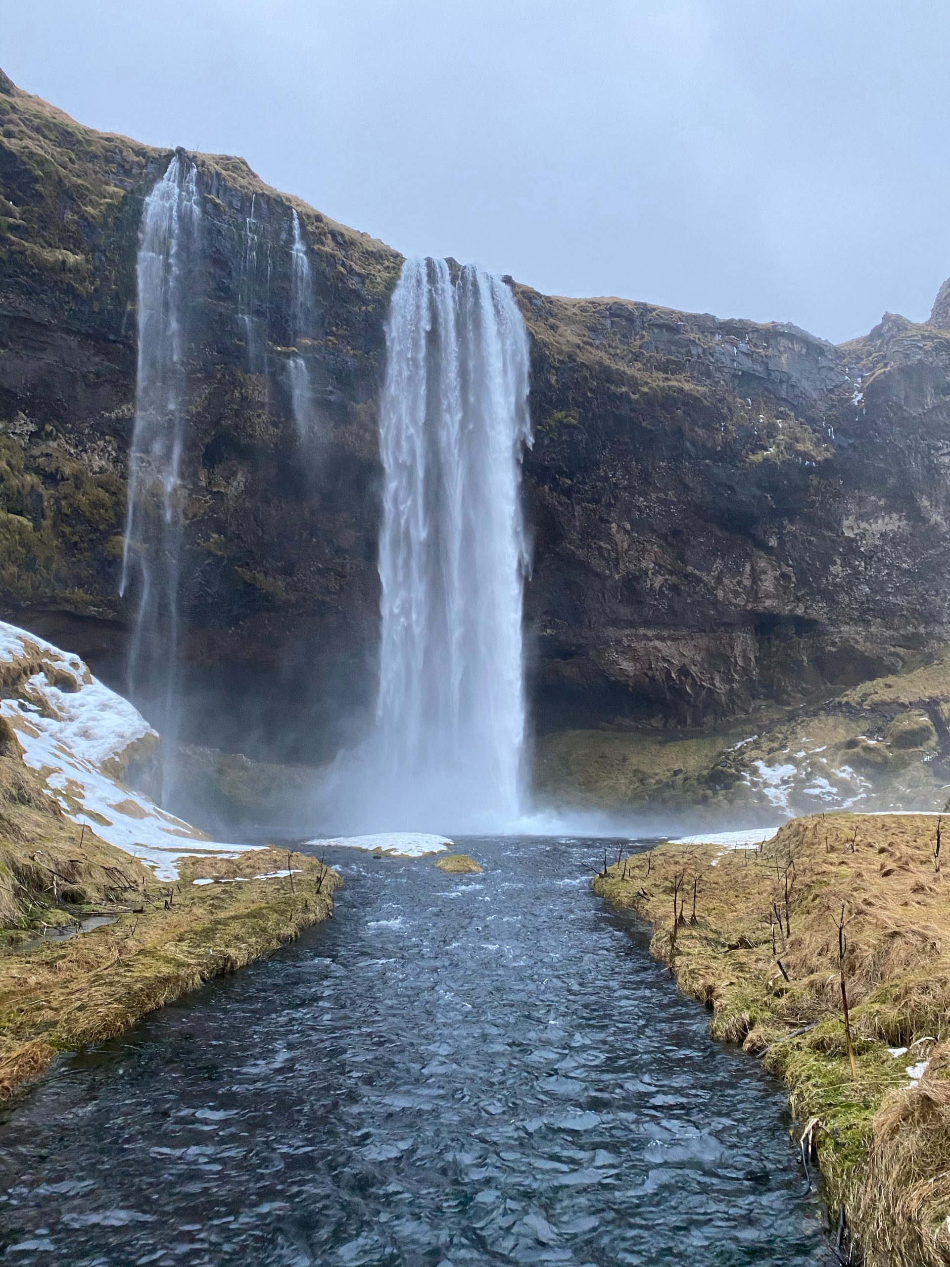
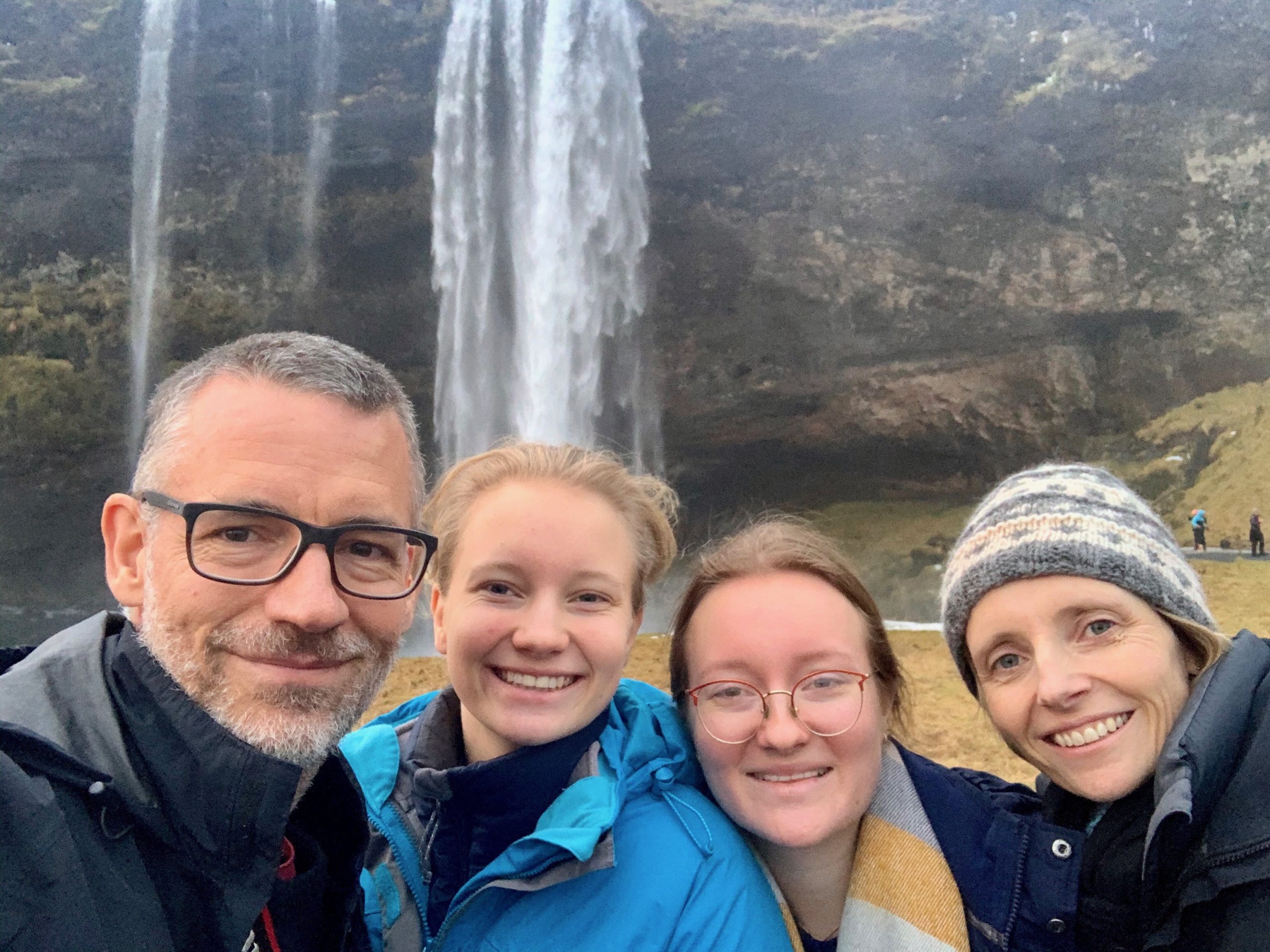
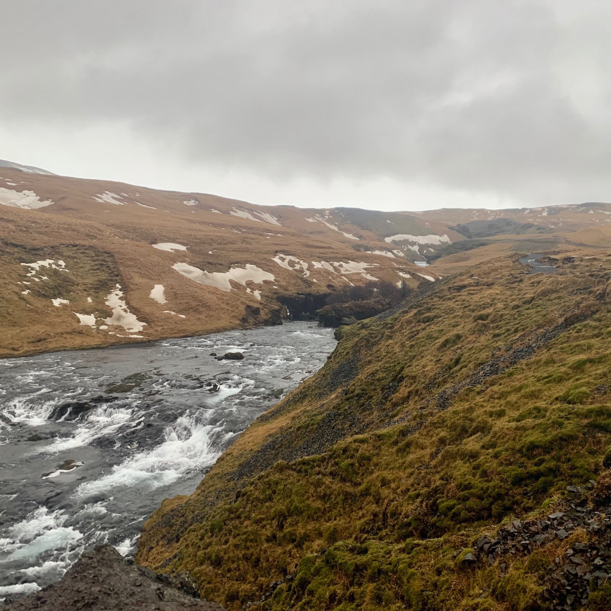
Our first stop for the day was at the Seljalandsfoss waterfall. It’s amazing to see the volume of water coming down from the mountains, and into the flat land below. Thanks to a Justin Bieber music video, this has become one of the most photographed waterfalls in the country…
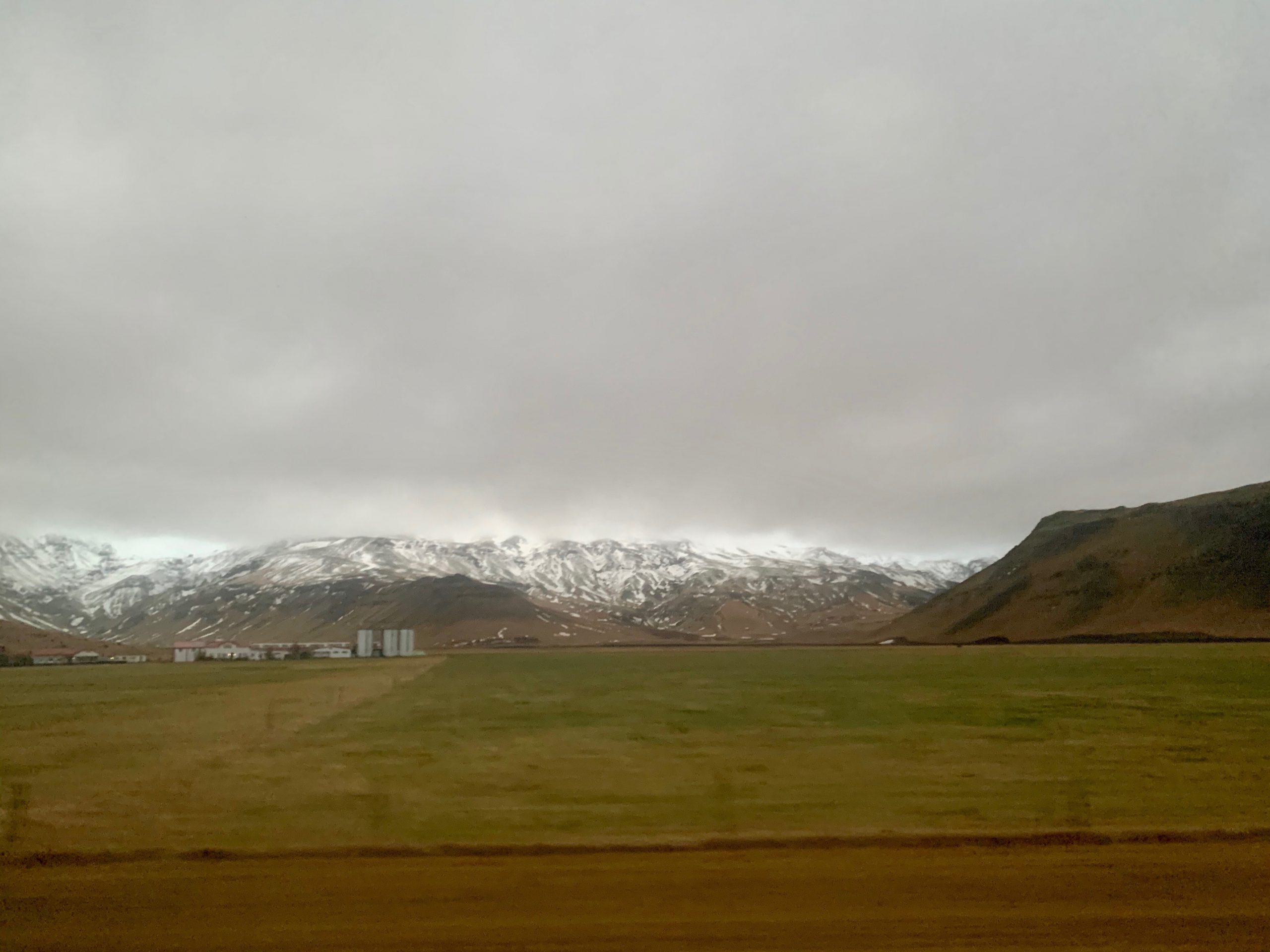
Coming around the coast near Holtsós lake was the point that the road was most exposed to the wind, and most likely to be closed. Throughout today the wind has been at around 50-70km an hour, so our minivan has been battered. This coast may be exposed, but it remains green and lush.
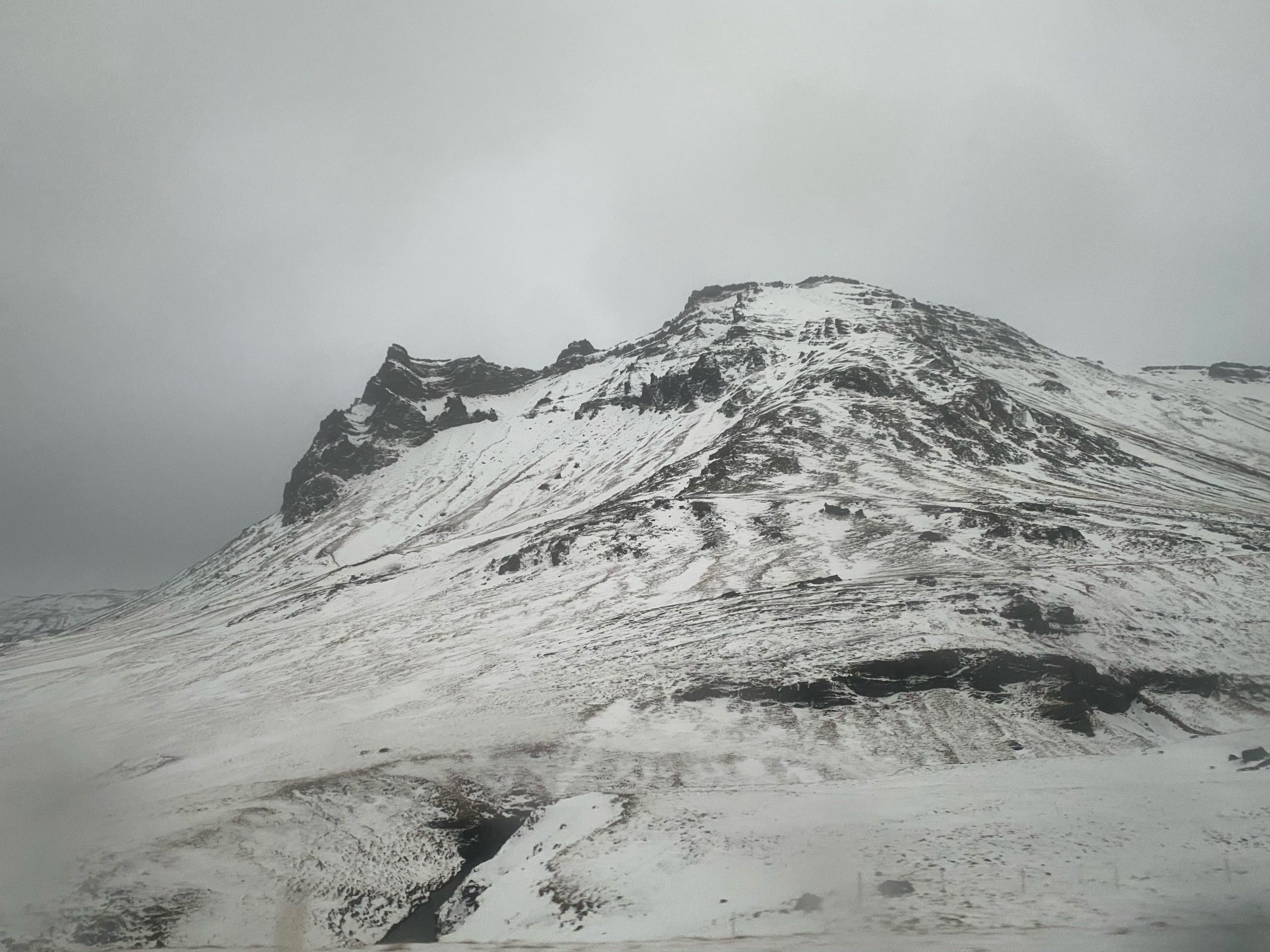
This area is the home of the 2010 volcano, Eyjafjallajökull. Many of the images that were beamed around the world, and put Iceland on the map came from this spot.
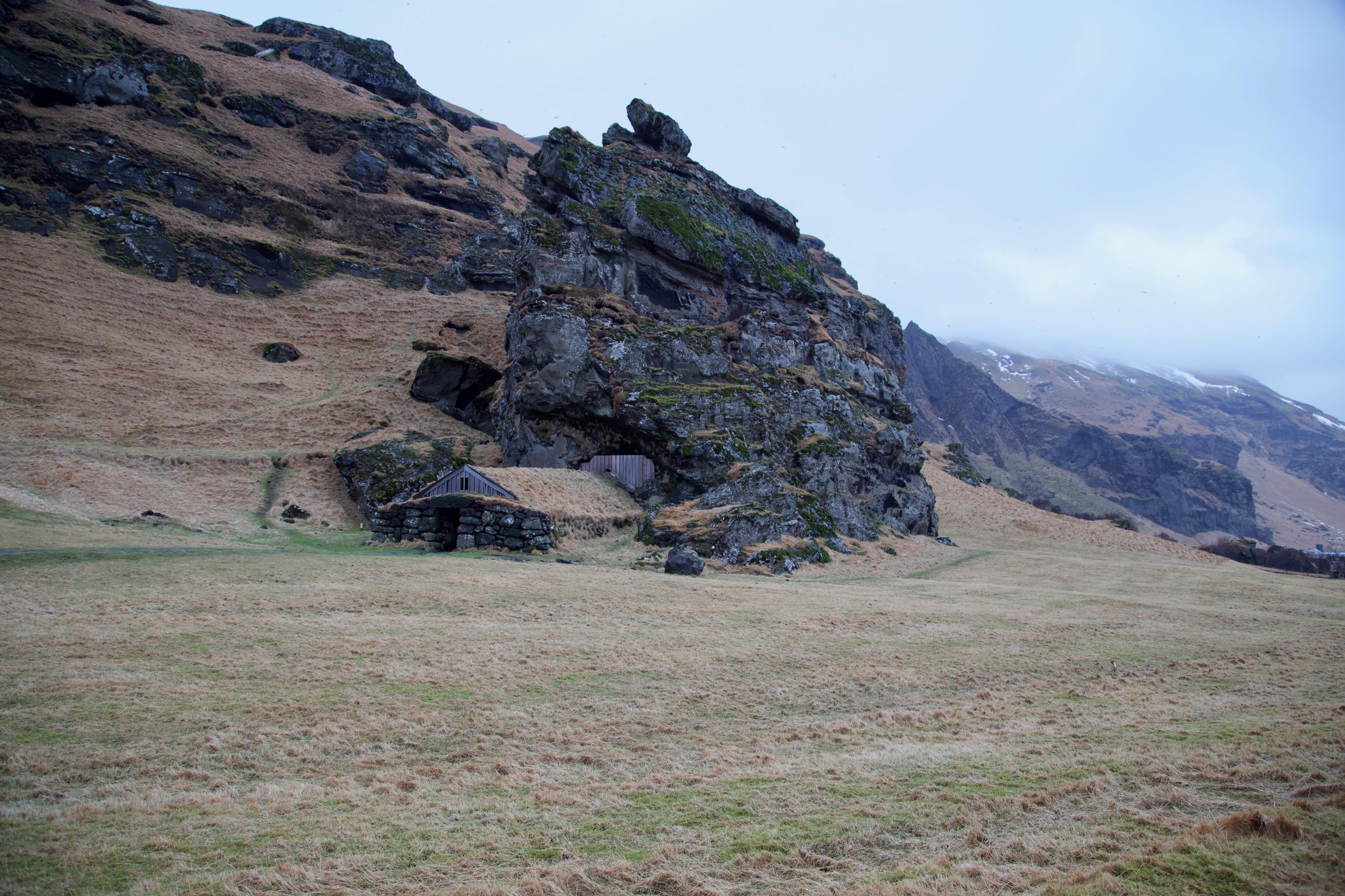
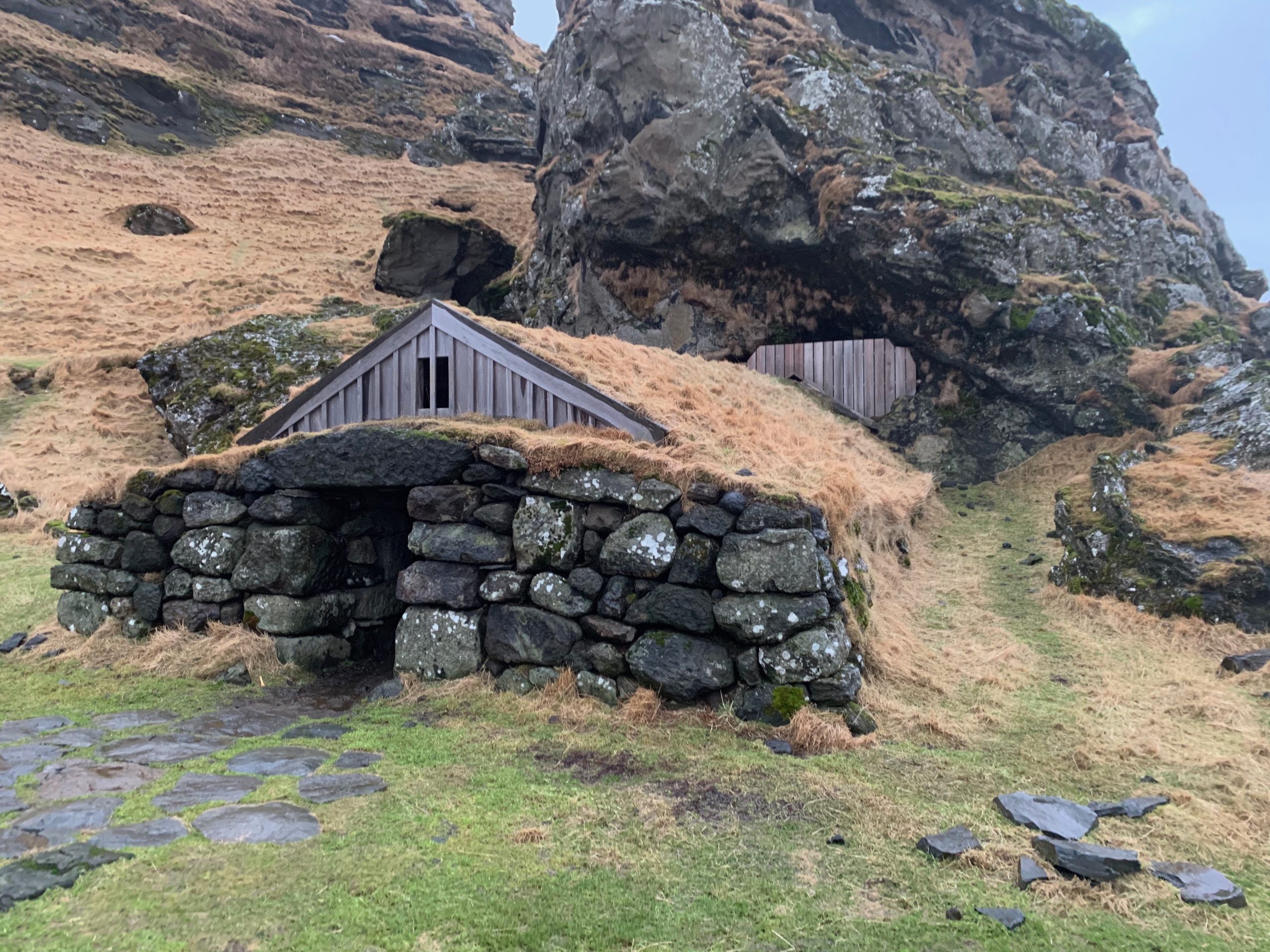
Icelandic homes traditionally had turf roofs, particularly for their thermal properties. In Rutshellir, there is a fantastic example of a roof still in tact after many years. This was an entry to a series of caves where people lived and kept feed for their animals.
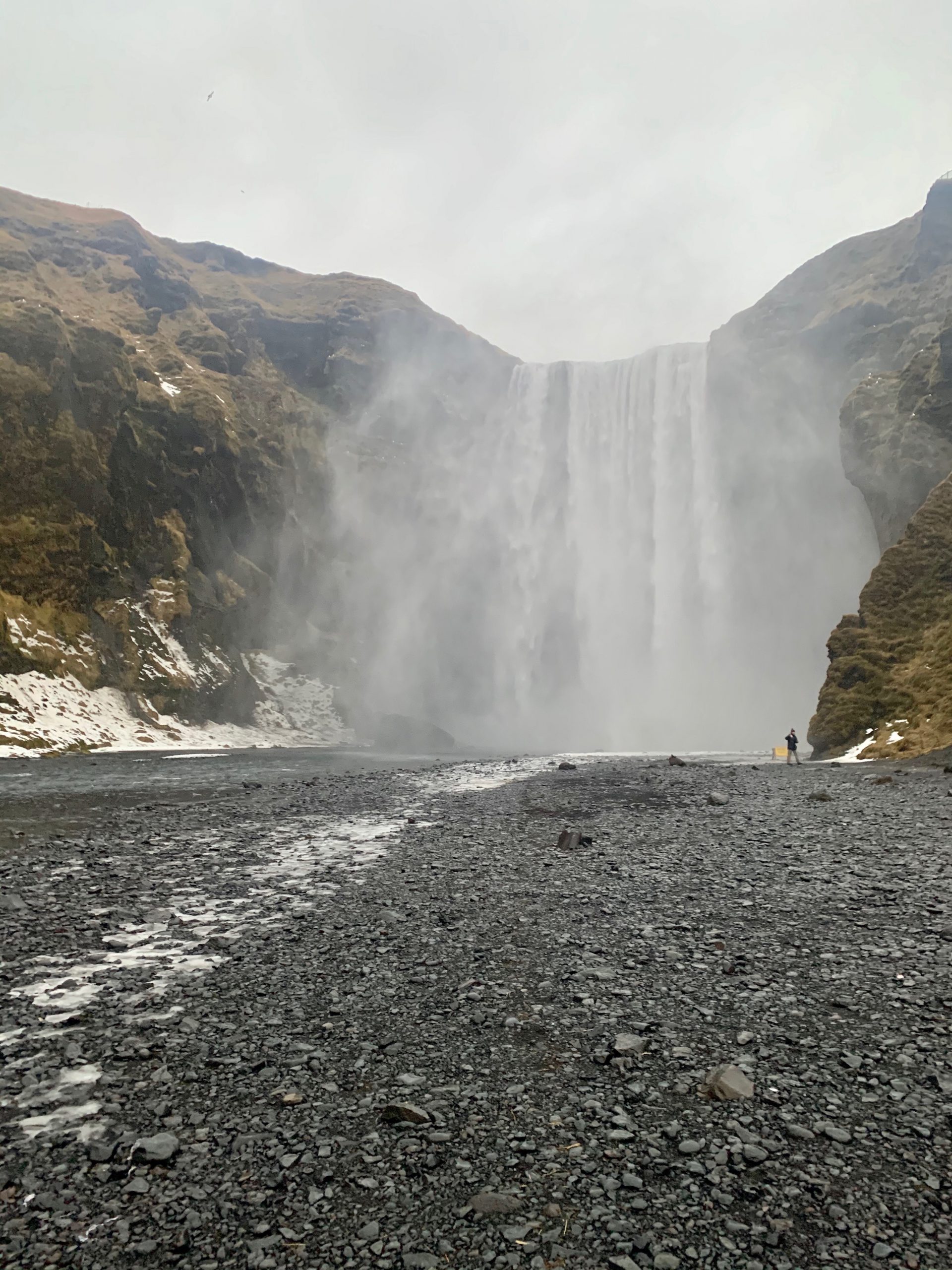
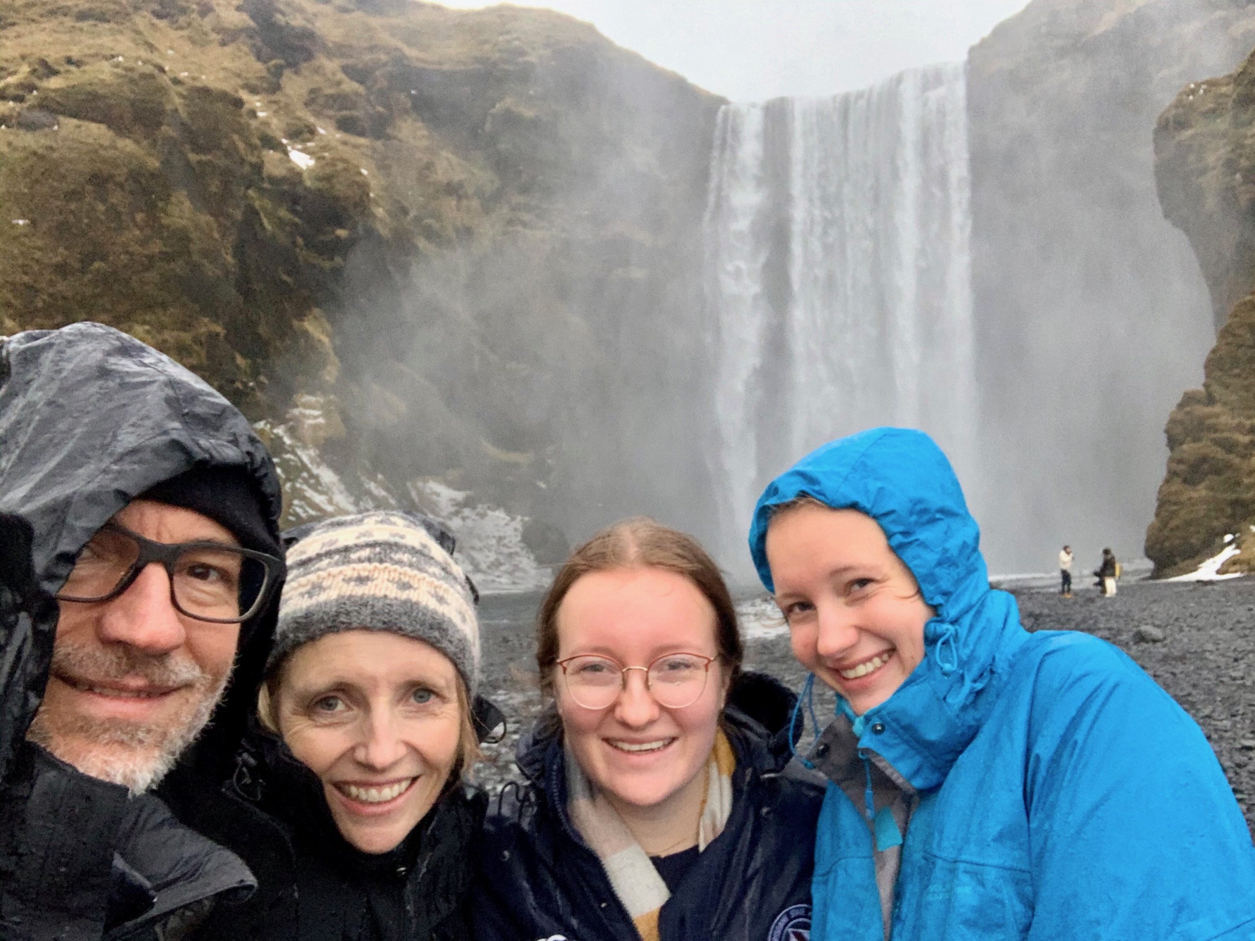
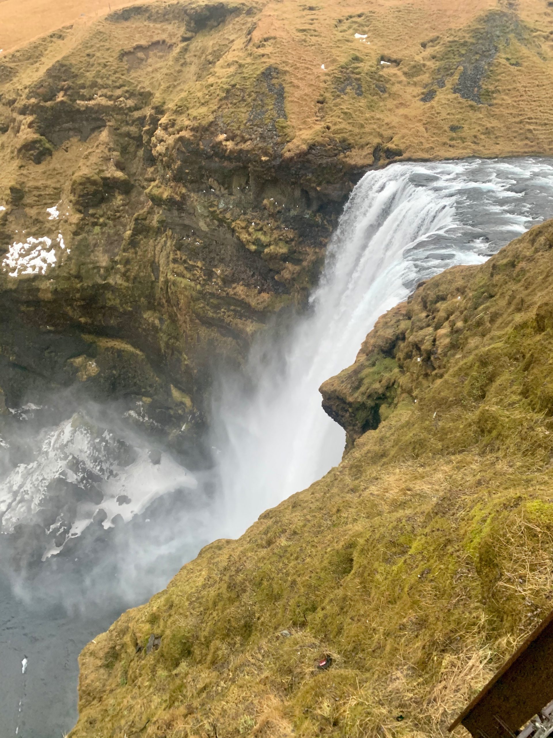
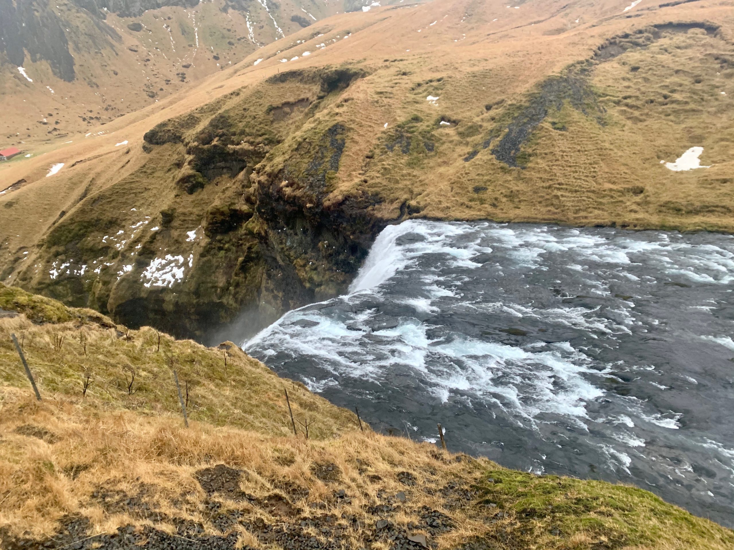
The waterfall at Skógafoss is one of the most impressive we’ve seen. Skógafoss means ‘Forest Waterfall’, unique in a country that doesn’t have many trees. About 1/4 of the country was treed at settlement, but over the years this resource has been depleted by logging to support housing and firewood. Today the government is making a concerted effort to plant more trees.
Skógafoss is unique in that it is fed by two glaciers, including the one in the Eyjafjallajökull region. As we arrived, the weather was some of the worst we’ve seen – rain with winds over 55km/h. At points, the water was being blown back up over the falls…

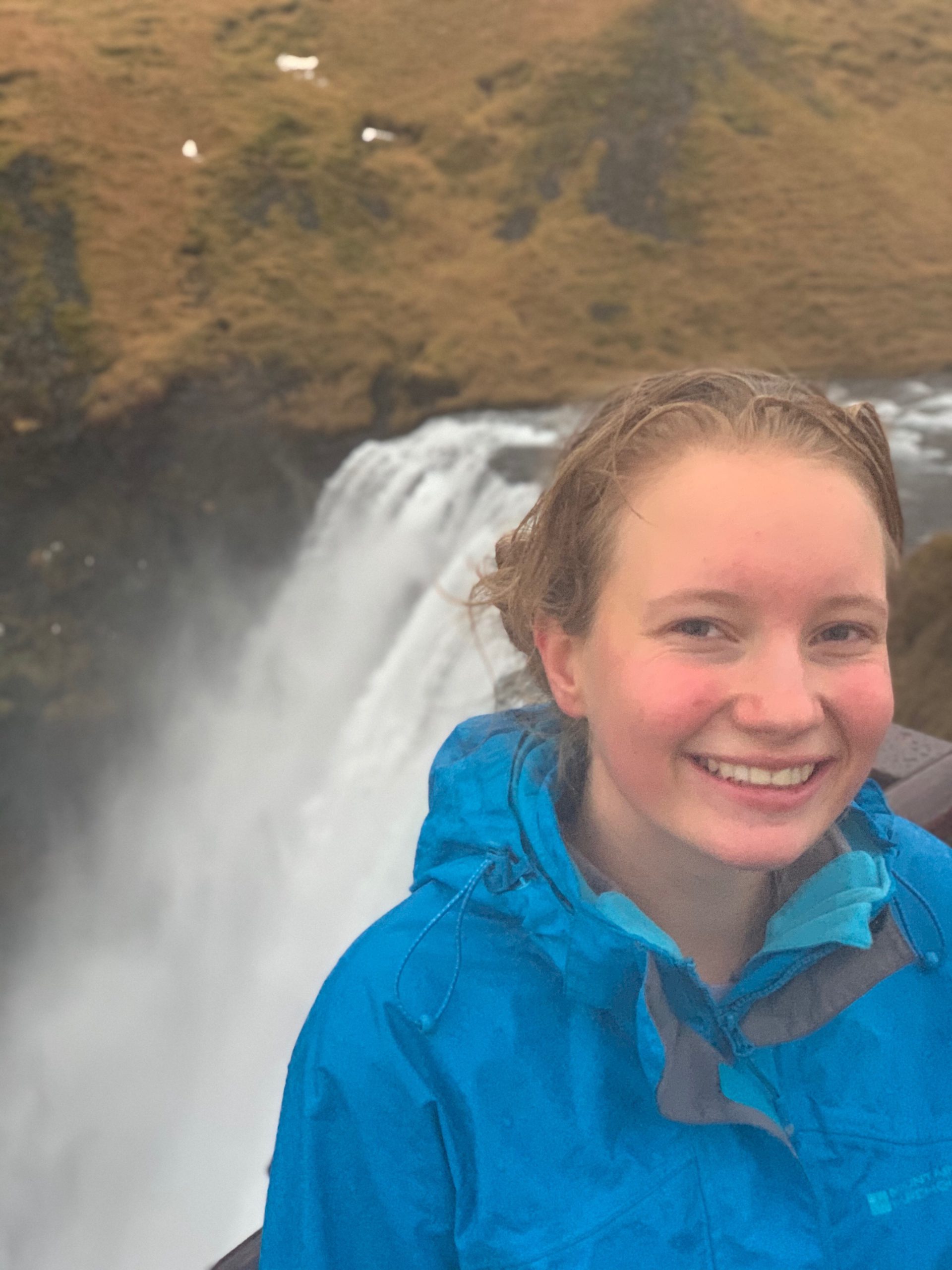
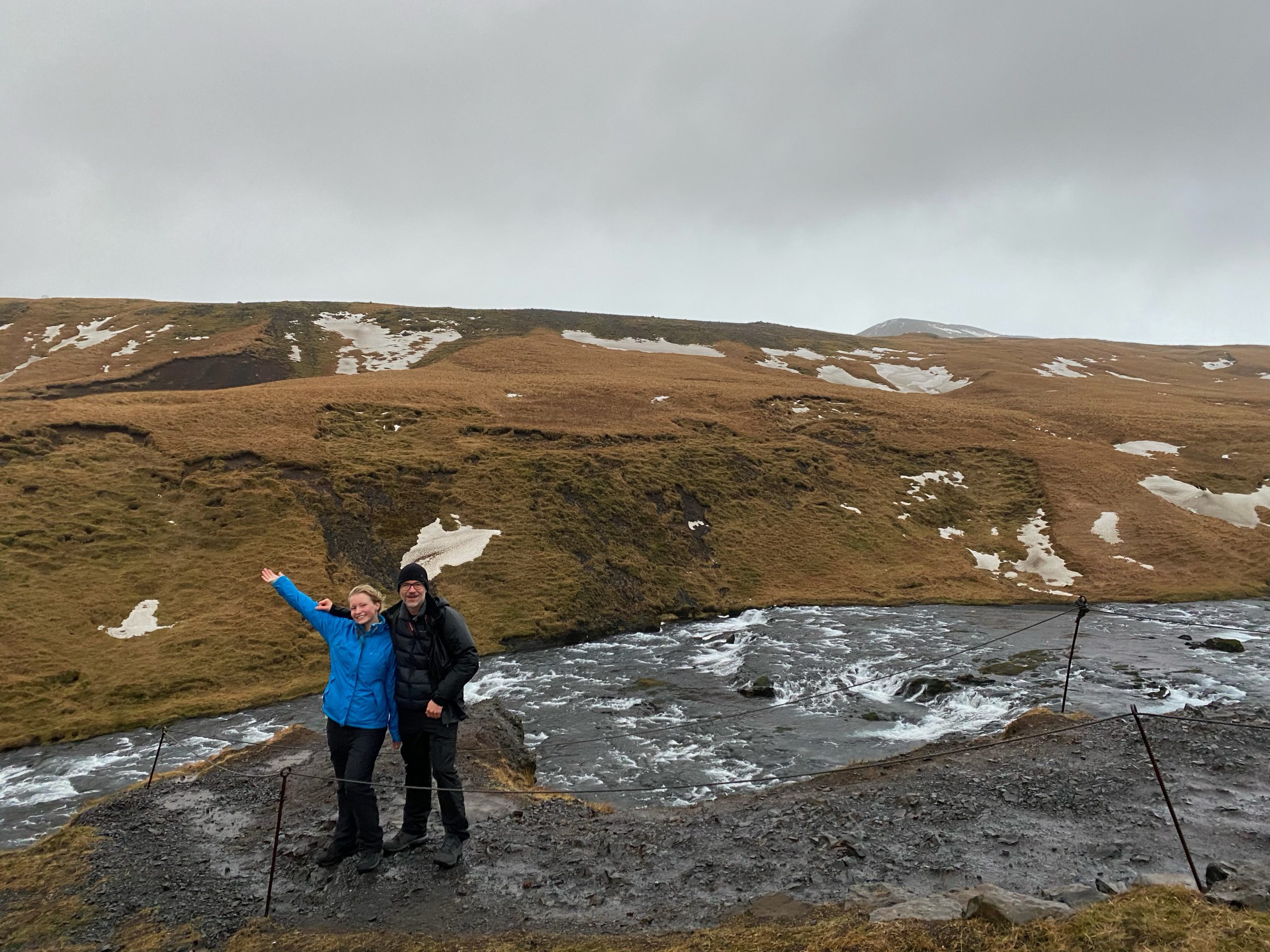
Our theory is that we’re here and shouldn’t let the weather deter us, so off we went up hundreds of stairs to capture the view from the top.
This is also the start of one of the most popular hikes in Iceland, the 23 km Fimmvörõuháls trail to Eyjafjallajökull. It would be a stunning hike.
Further along the road we came to the Katla volcano, beneath a massive glacier. The volcano erupts approximately every 40-80 years, with the last eruption in 1918… it’s long overdue! If it erupts, the glacier will flood Vik, the southernmost and fasted growing village in Iceland. Needless to say, the whole village has a volcano eruption and flood evacuation plan.
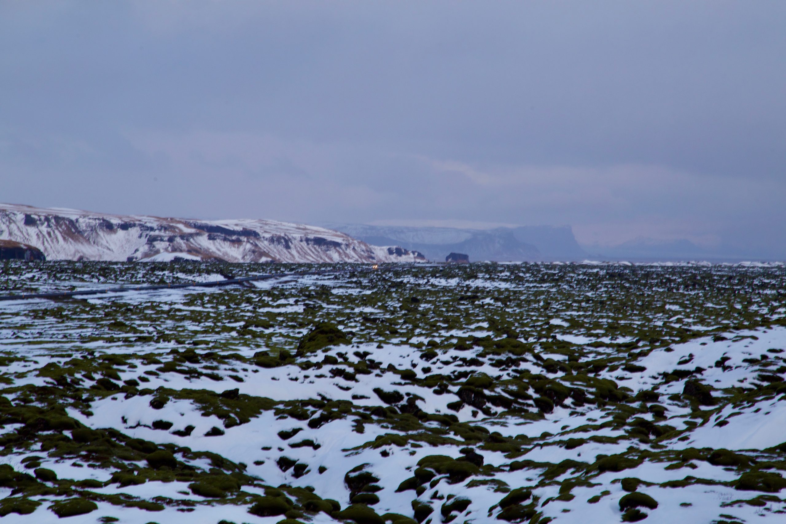
The area is the biggest lava field in Iceland. A 1783 eruption killed 1/4 of the people in Iceland directly due to gases or indirectly due to the associated crop losses and hunger. In summer, these fields are filled with Lupin, introduced from Alaska to help rehabilitate the area, and now considered a pest to eradicate.
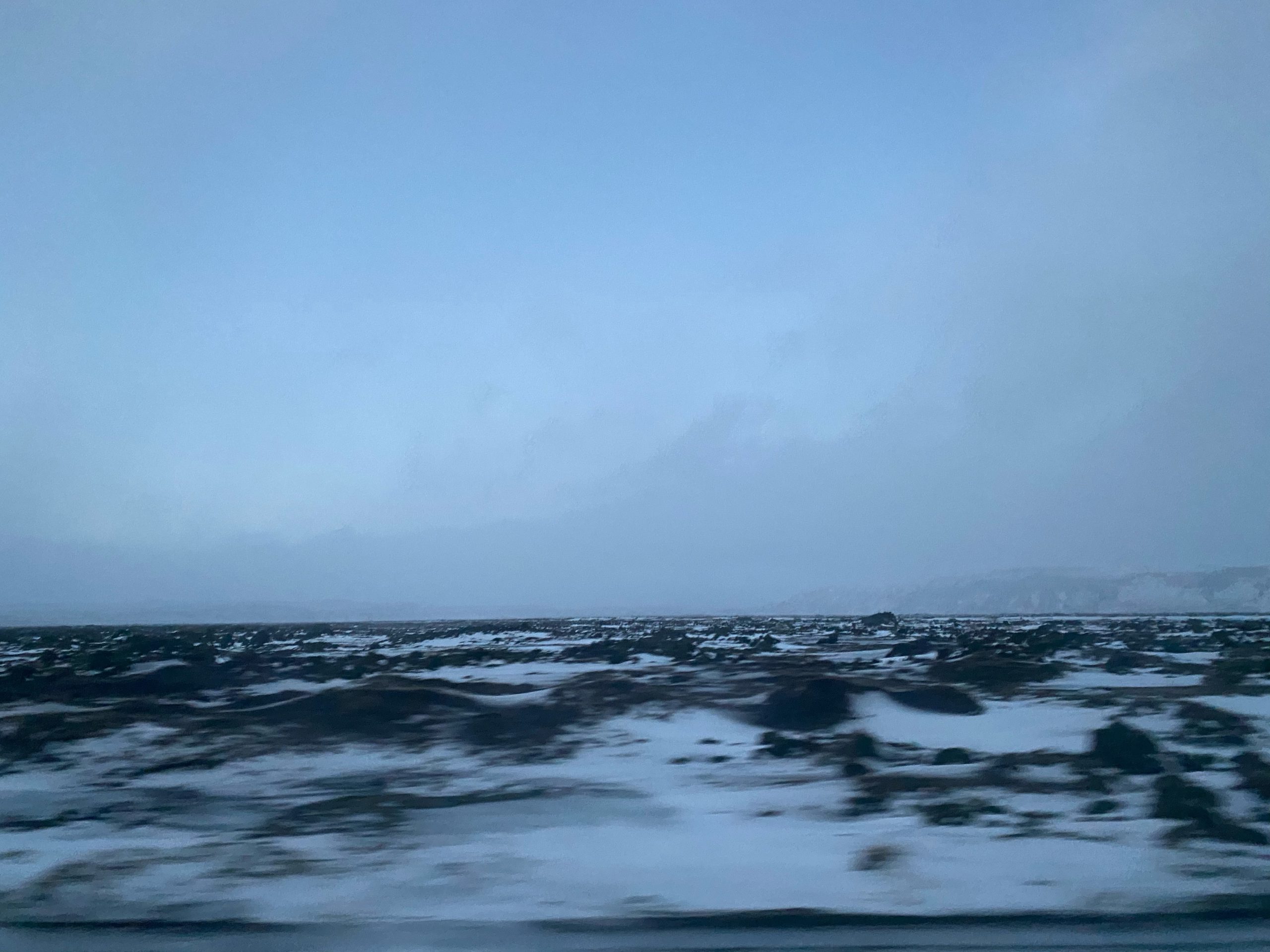
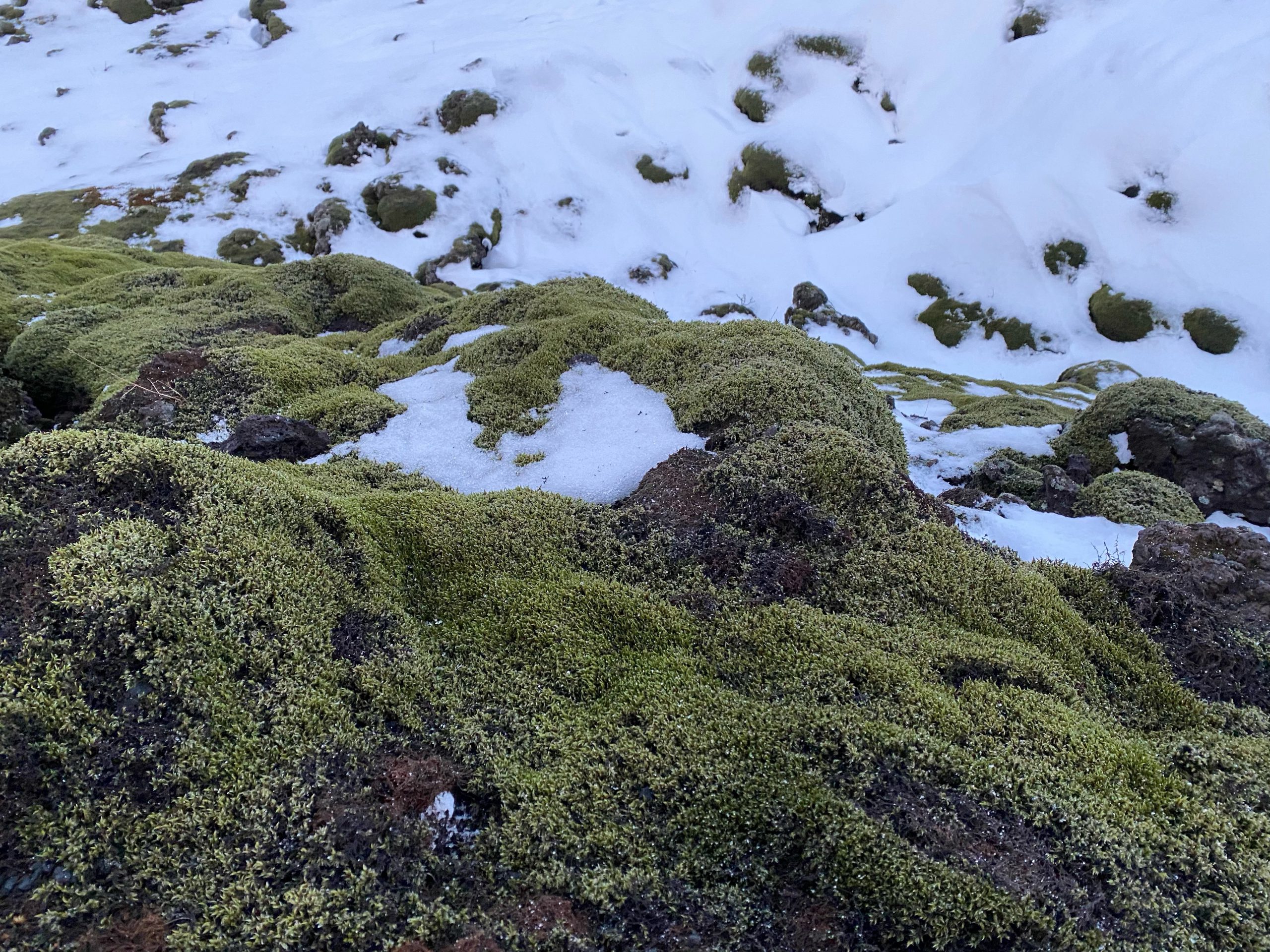
Meanwhile, the depth of moss covering the lava field as far as the eye can see is spectacular…
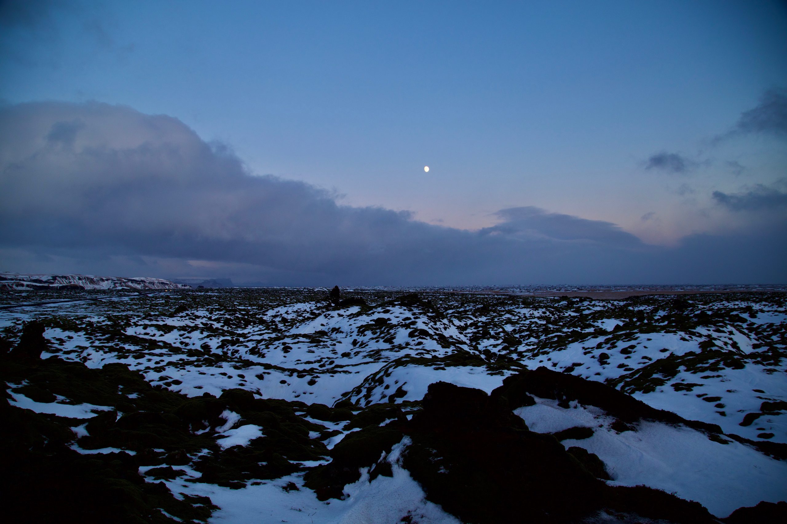
Tonight we’re staying in a little cabin in Kirkjubæjarklauster (Church village monastery). There’s a sports centre in the town, so again we went and enjoyed the hot tubs with some of our tour group. For two of our group, their first experience of snow falling from the sky was in an outdoor hot tub in Southern Iceland in -1 with an apparent temperature of -8. How cool is that?!?!
As I write, it’s snowing and the wind is blowing an absolute gale outside, with 90km/hour gusts. It’s -2, with an apparent of -9. The weather is extreme… and this is why we came. And for the record, yes, the 10.3kg of luggage is serving me well and I still have many layers still up my sleeve! Oh, and the UV index is 0 🙂
Love M & theBunch x

Sun: 10:51-15:45
Temperature: -1-3, wind: 60km/h
Comments are closed