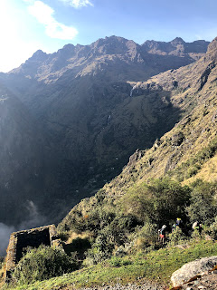
The 3rd day of the Inca Trail is the longest at 16km, and for me was the toughest.
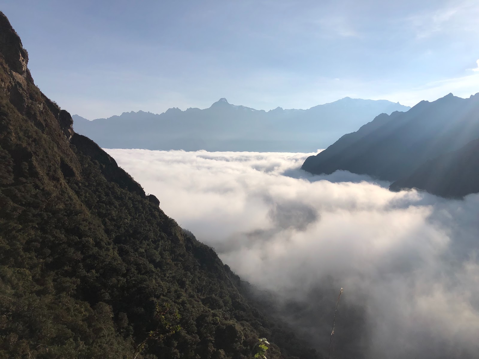
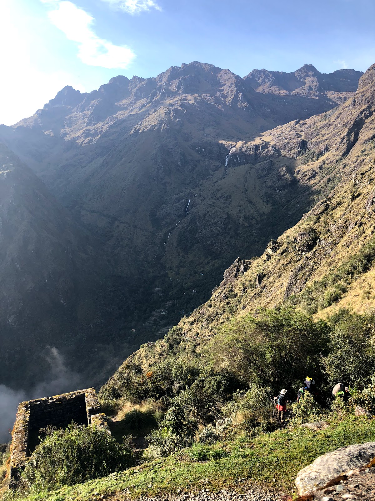
Again, we started off early, leaving the campsite at 6am. It was a magnificent view of the clouds in the valley as the sun rose over the mountains.
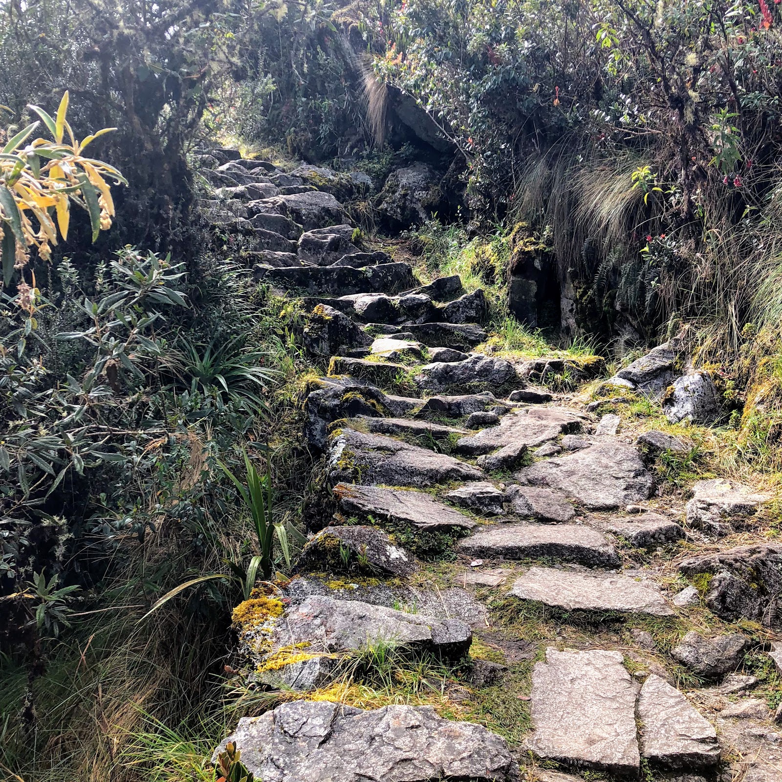
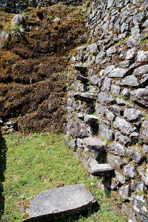
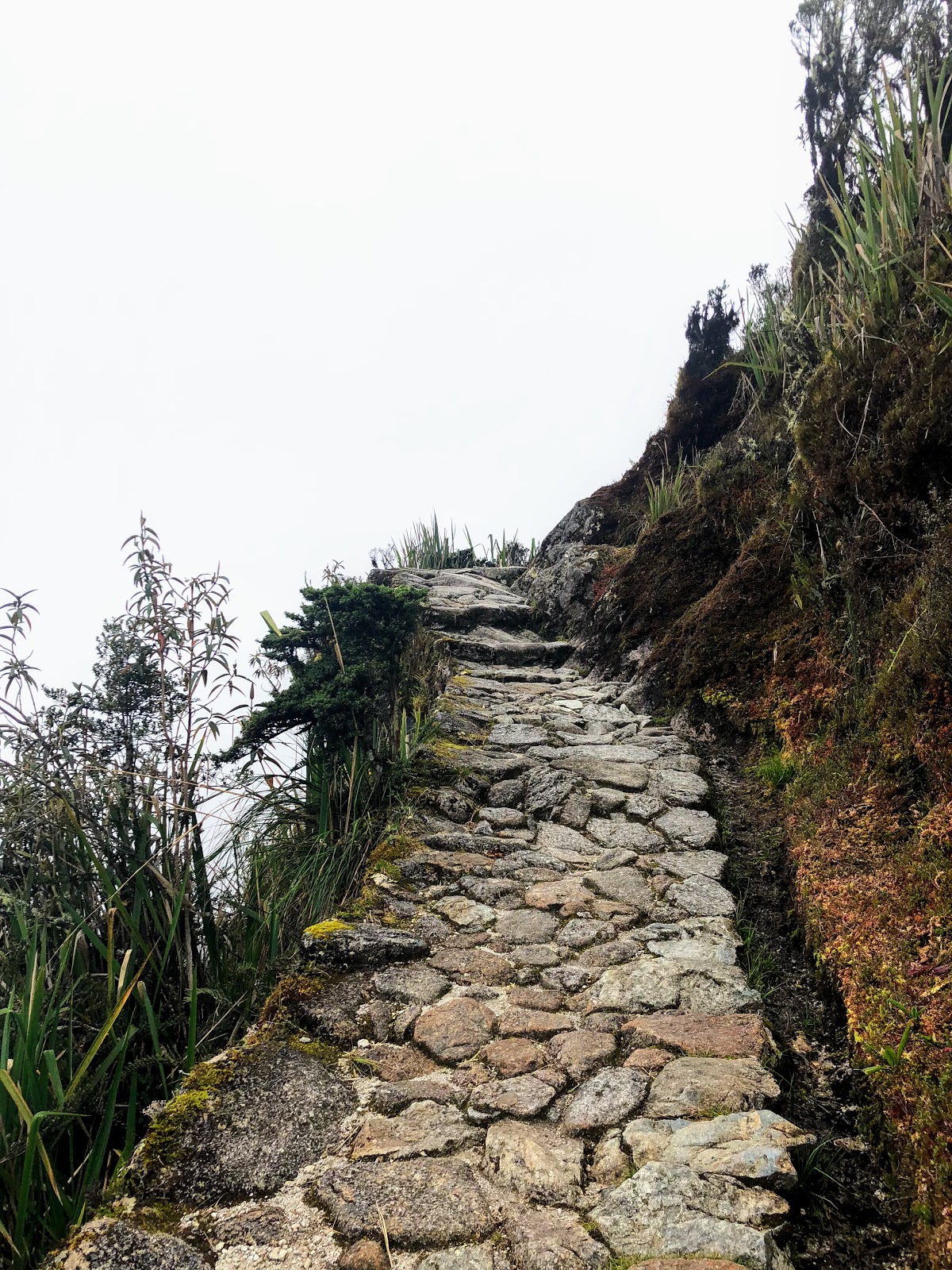
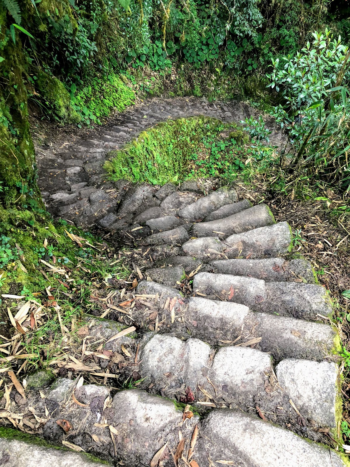
This section of the trail is original Inca, so is very uneven. Regardless, the fact that they built it and it remains so solid is quite a feat!
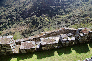
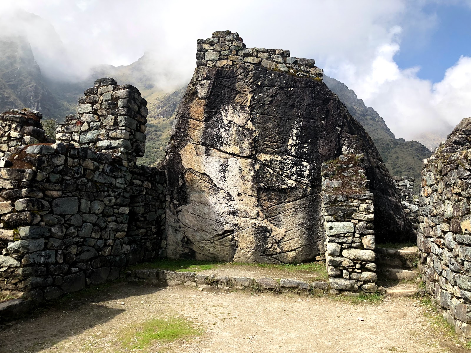
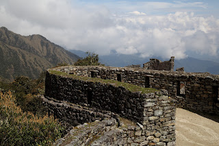
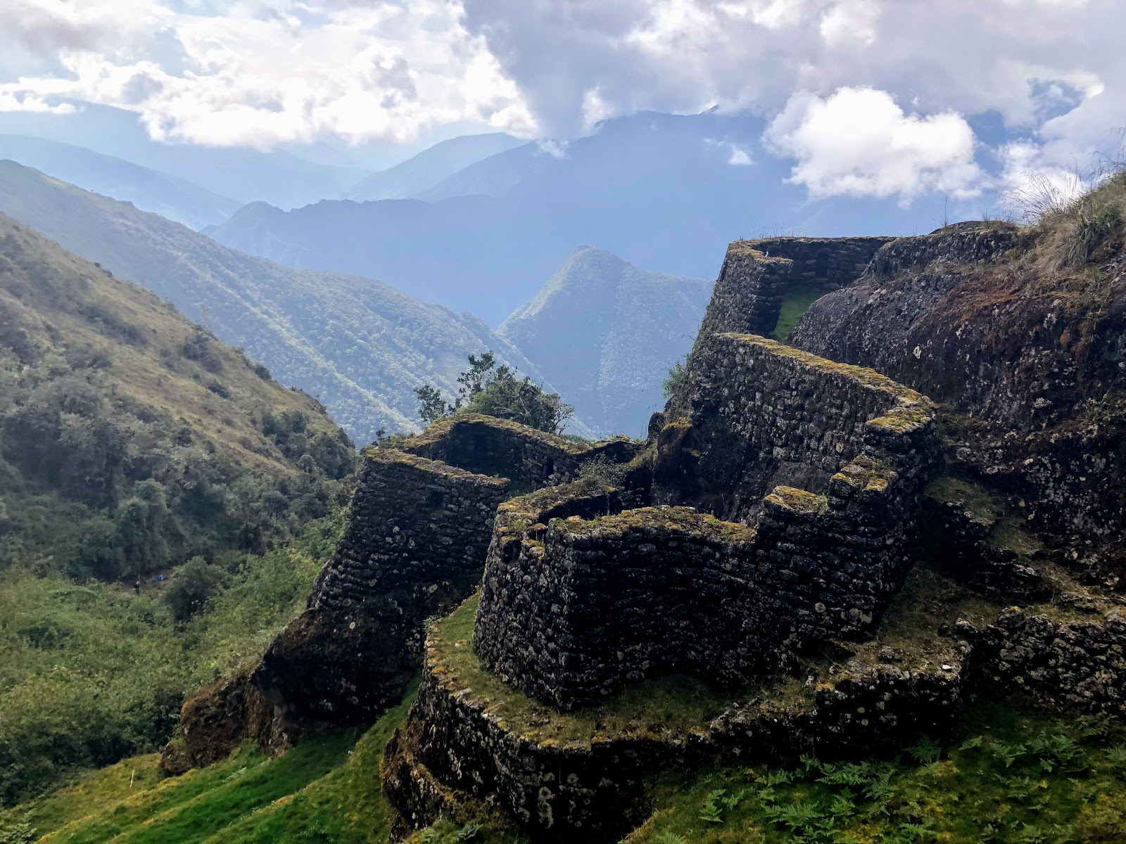
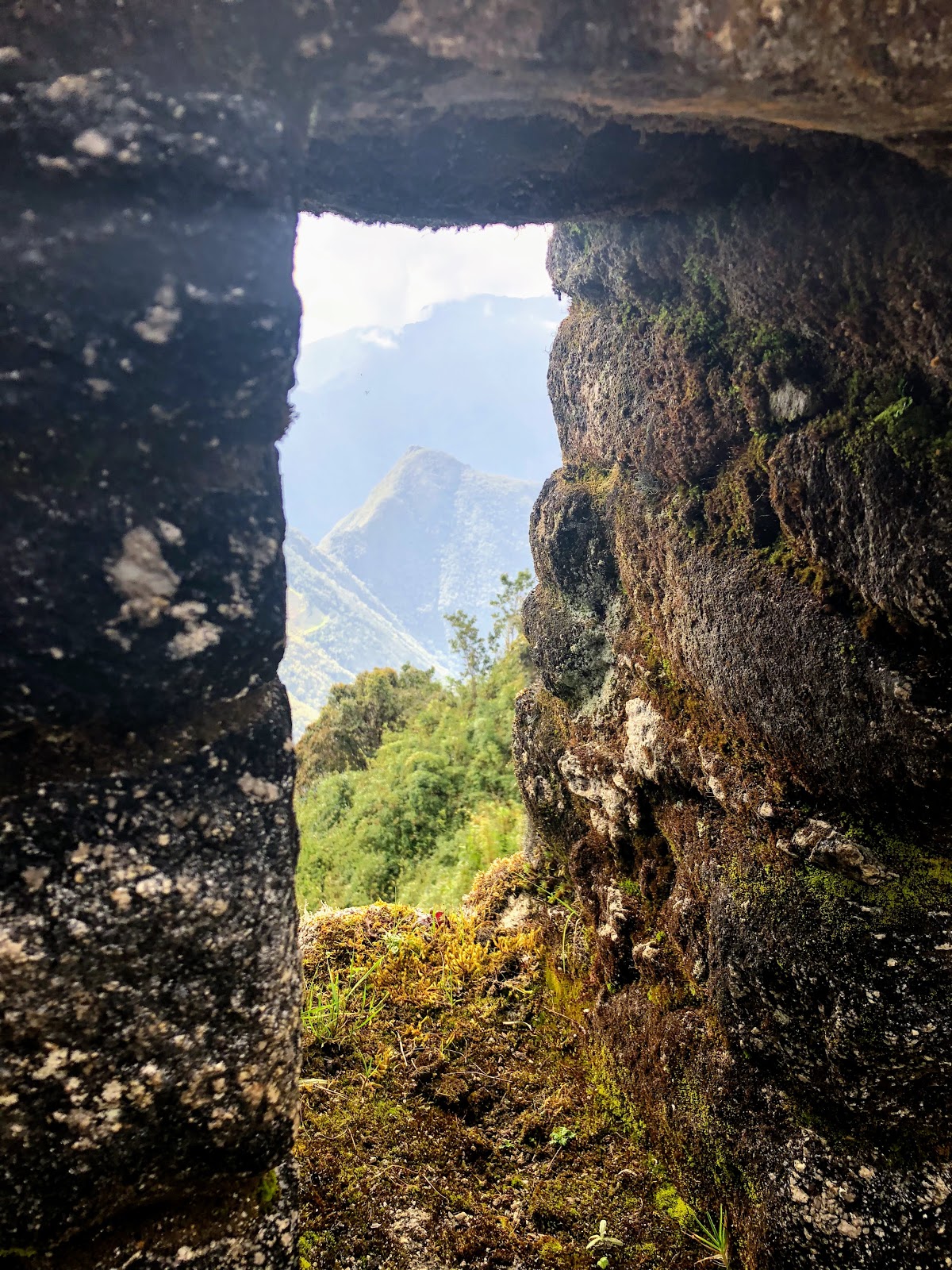
We headed up to 3700m to the ruins at Runkurakay , meaning ‘oval shape’. The site is made up of concentric, symmetrical oval shaped rooms in the rustic Inca style. The walls had the distinctive 5-13 degree angle that we have seen at all the ruins, and trapezoid shaped windows and storage shelves. The roof would have been made of highland grass, and replaced every 2 years.
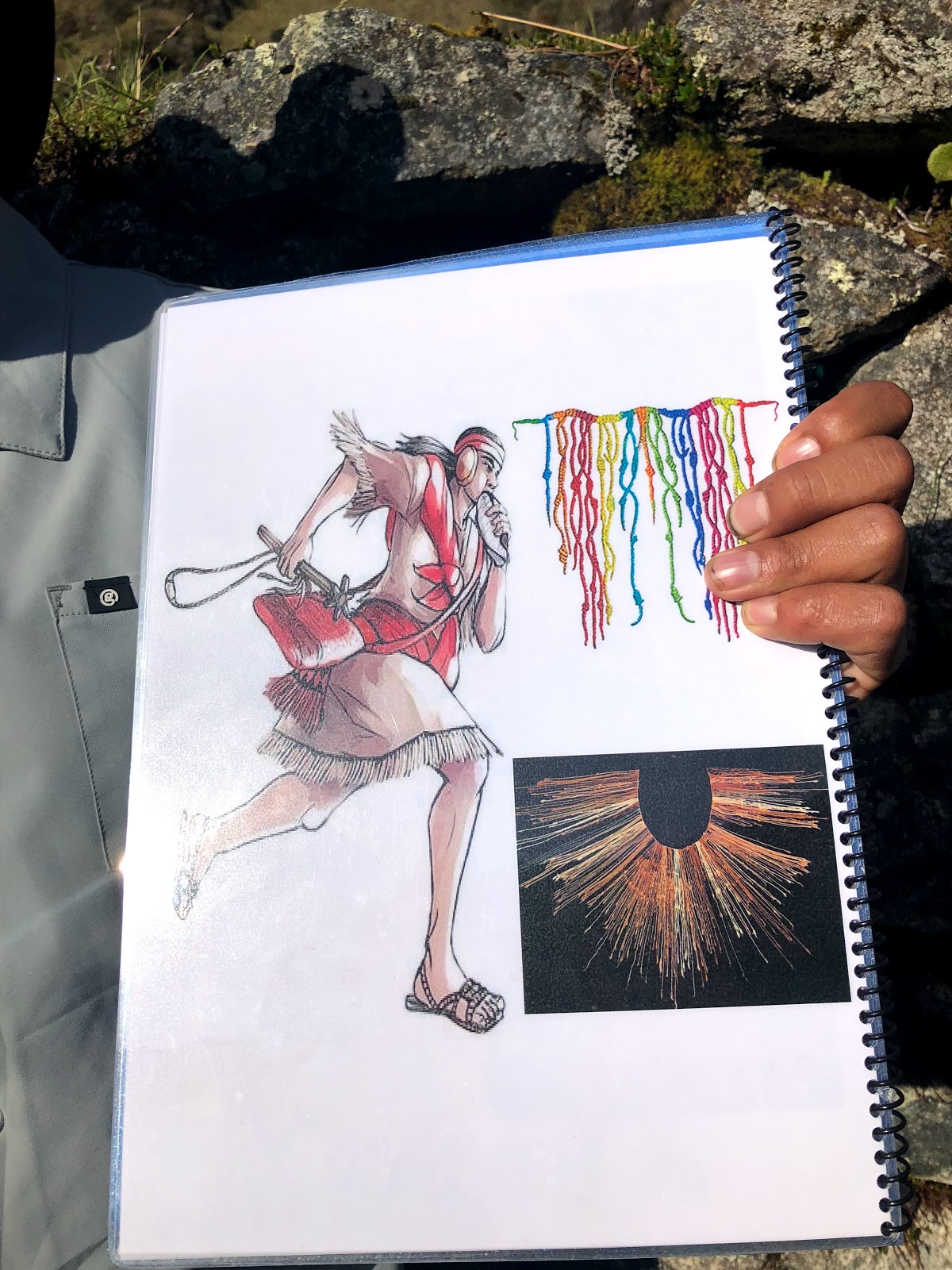
It is believed that this was a shelter or resting place for messengers, who would traverse the trails between Cusco to what is now Ecuador in the North, and Chile in the South.
The messengers would operate in relay, with each running about 25-30km and then handing over at places like Runkurakay. They would use a conch shell to announce their impending arrival, and signal the next runner to prepare to go. Using this method, they would get messages from Cusco to Quitoquaro in Equador in only 5 days.
Messages would be made of string, tied to show the number of people and llamas in each place.
Another hypothesis of the use of the site was as a place of religious worship, however this is less likely due to the rustic construction – religious sites were generally higher quality.
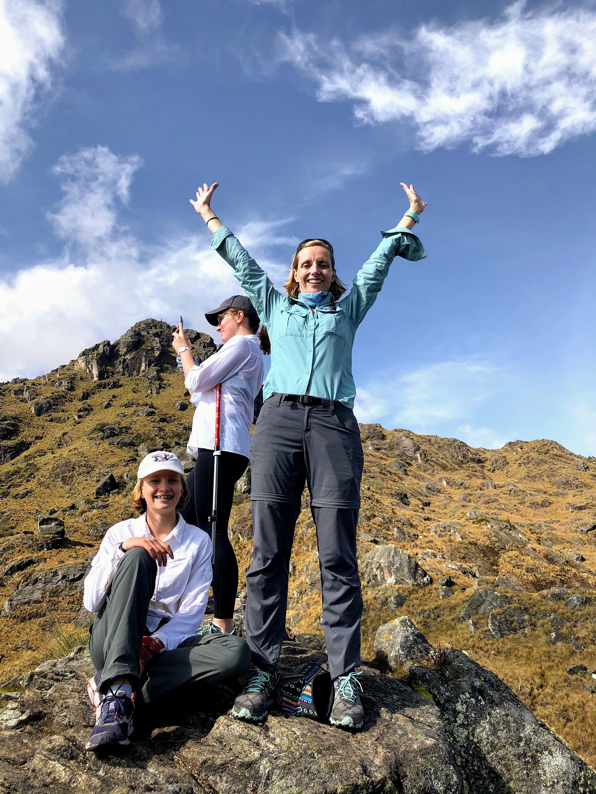
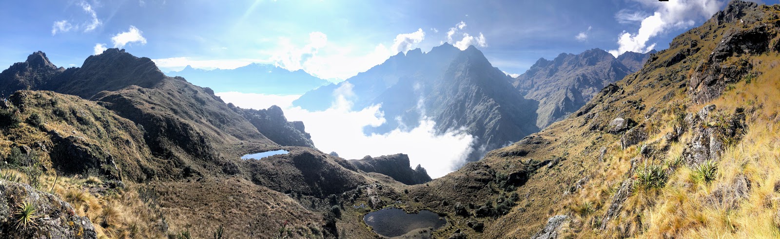
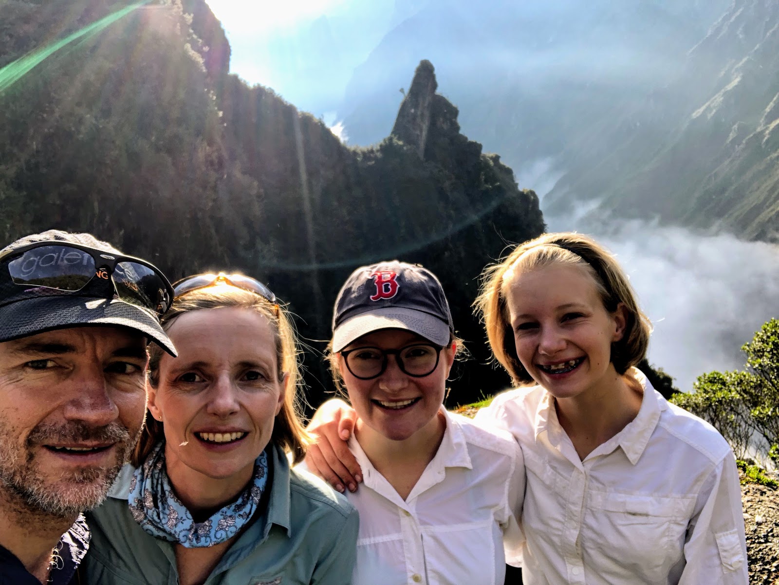
We crossed another high pass, with unbelievable views either side. The Andes are a magnificent range, and when we took on the Inca Trail, I never imagined that we would have so many moments where we literally felt like we were on top of the world.
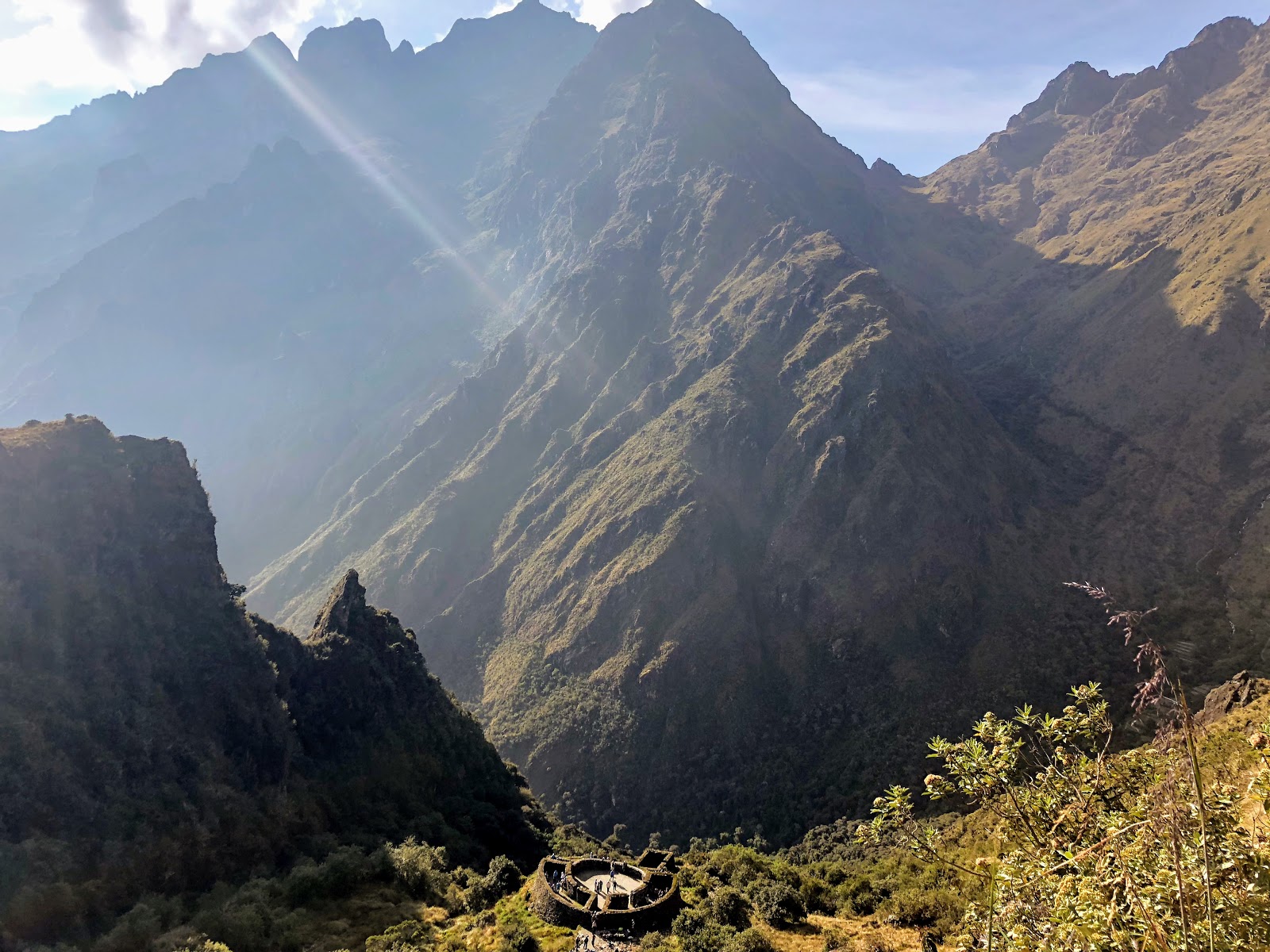
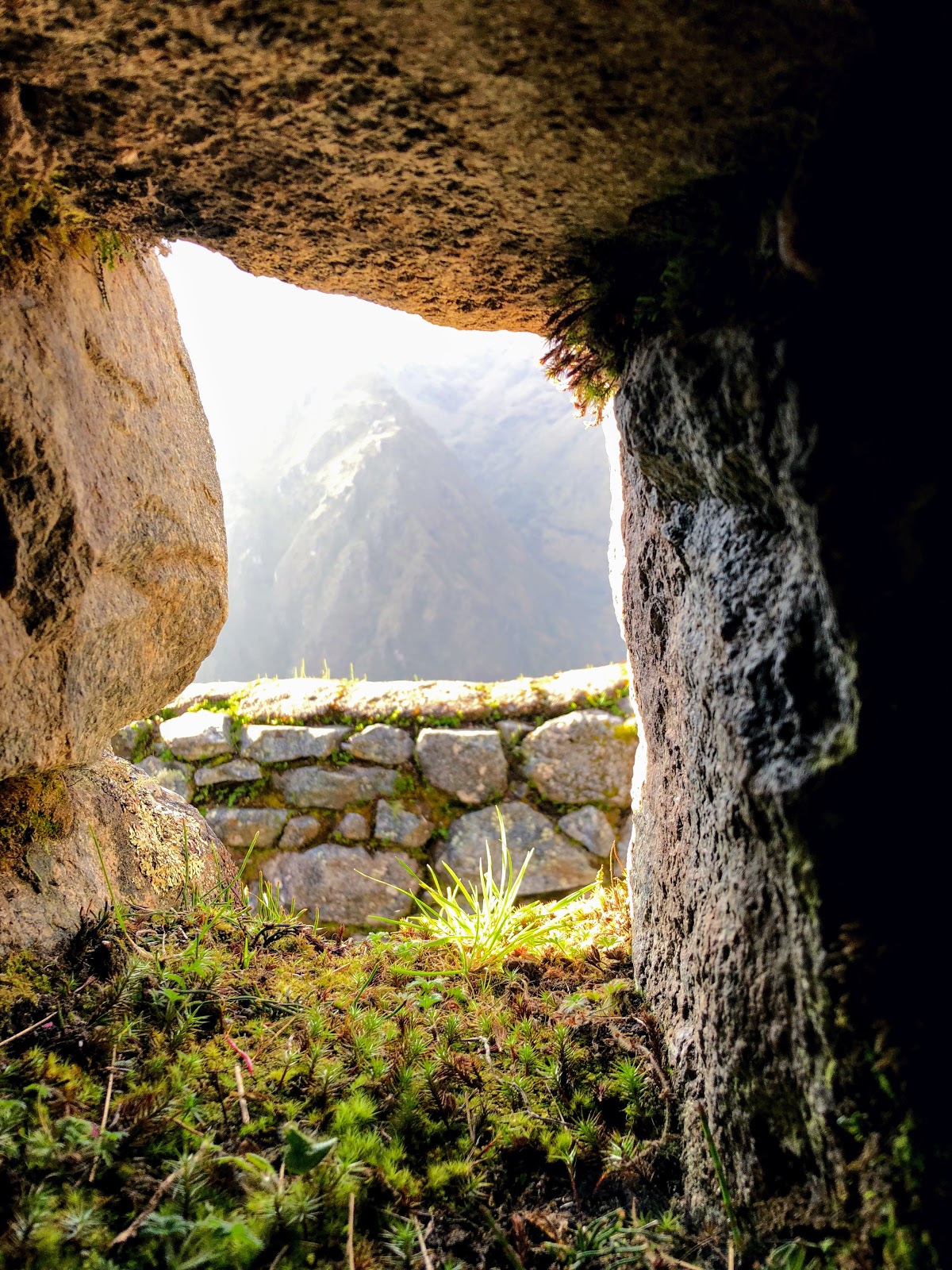
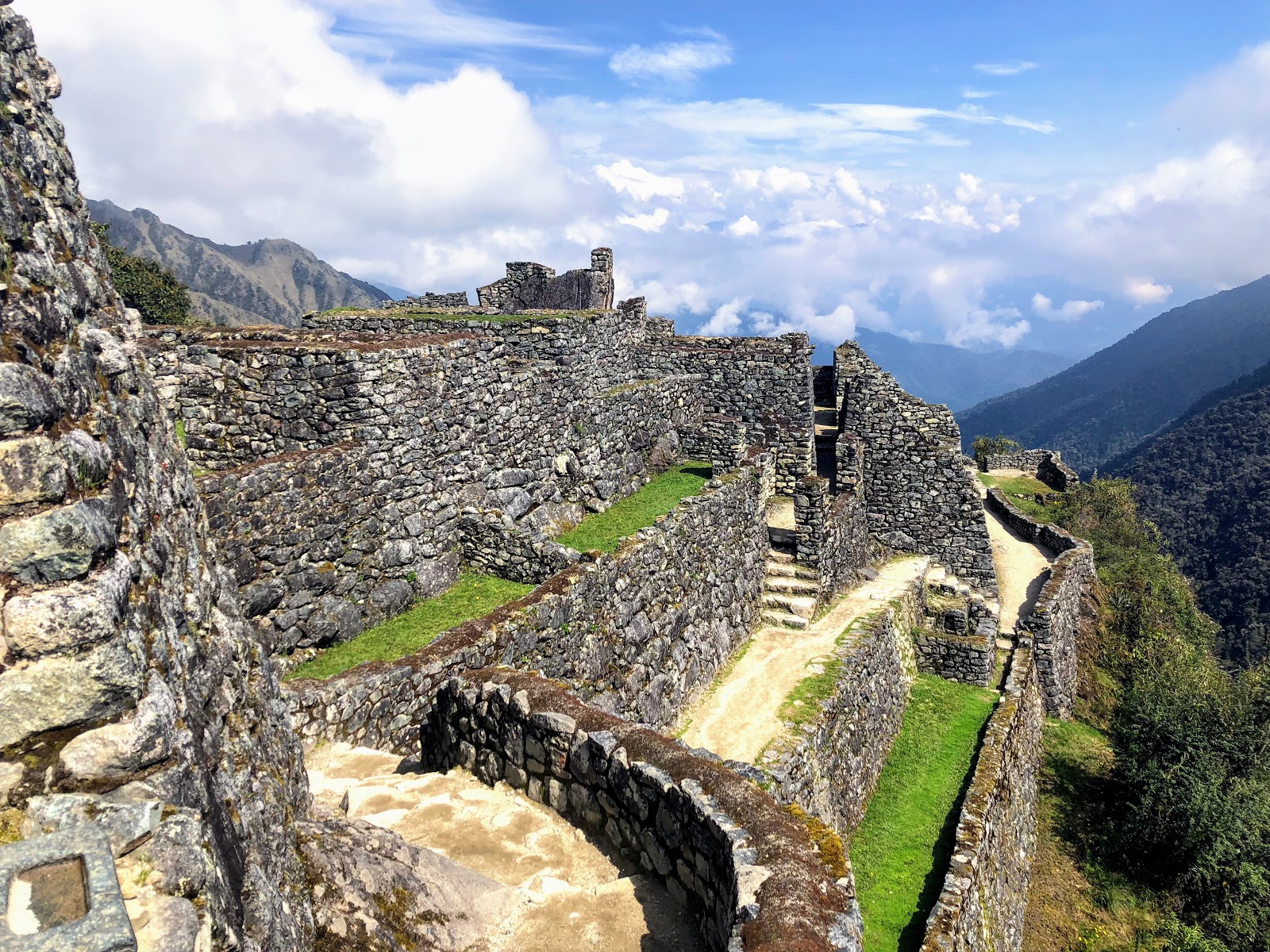
Our next stop was Sayaqmarka which translates to ‘Inaccessible Place’. This was a checkpoint for those making the pilgrimage from Cusco to Machu Picchu for the major festivals of the Winter Solstice. This ensured that jungle people were not able to pass through.
In the centre of the site there is a large bedrock where people would leave their offerings to Pacha Mama (Mother Earth). The Inca’s deep connection to the earth and the stars was prominent in everything they did, and drove a highly sustainable culture. We could learn a lot from this…
There were two water fountains fed by channels from the mountains that people would use to purify their body. They would purify their spirit by fasting – only eating water and corn until they reached Machu Picchu.
Again, the site was primarily rustic construction, and would have had a roof made of Alpaca skin. In some areas piles of stones remain in the middle of rooms as a UNESCO requirement was for sites to be left exactly as they were found.
Nearby, grain was stored at Qonchamarka ‘Sea Shells’ to avoid some of the humidity of Sayaqmarka.
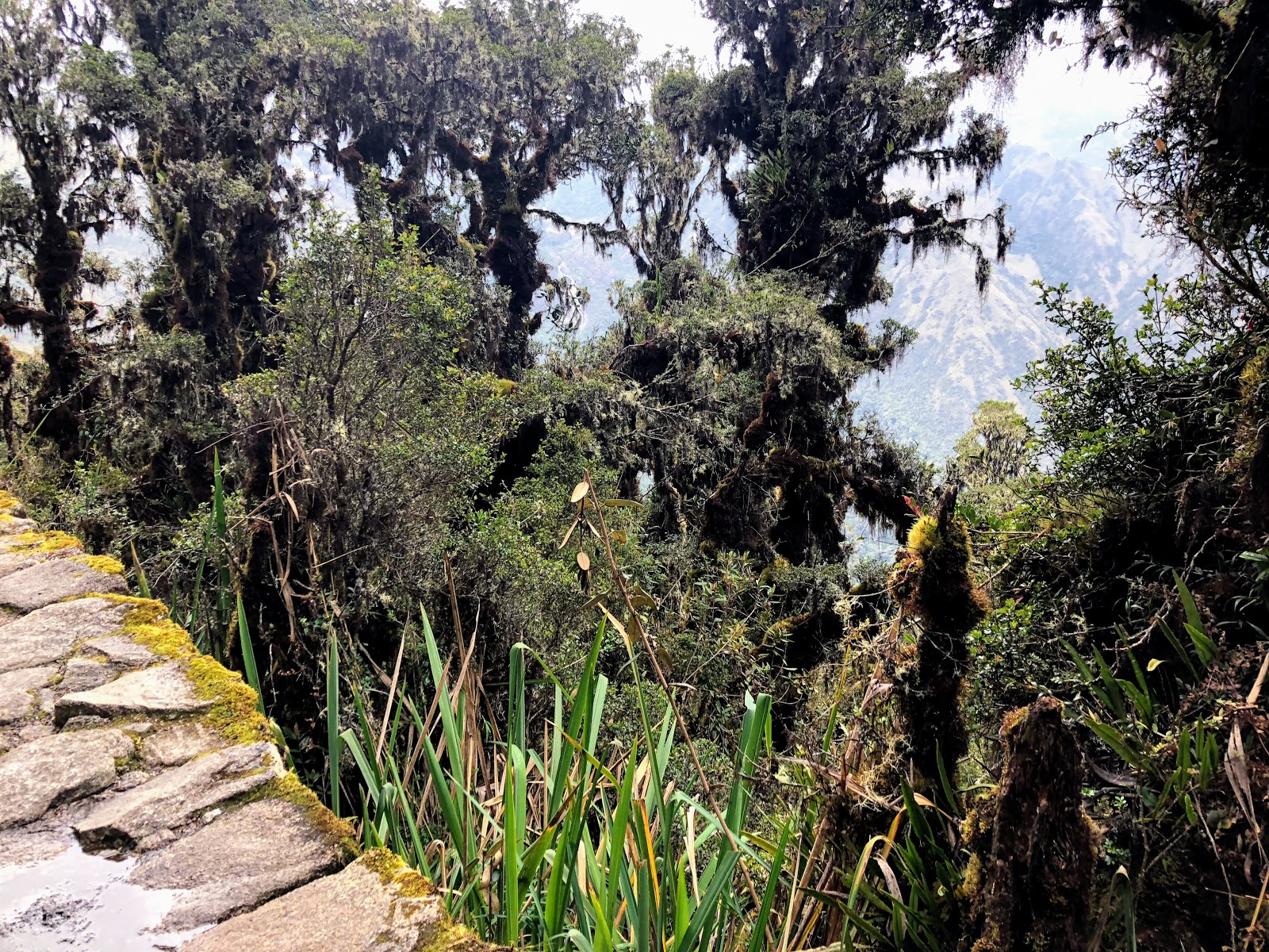
As we descended, there was a distinctive shift in climate from highland, to the Amazon jungle. It was amazing to see the difference in the plants that thrive in the area.
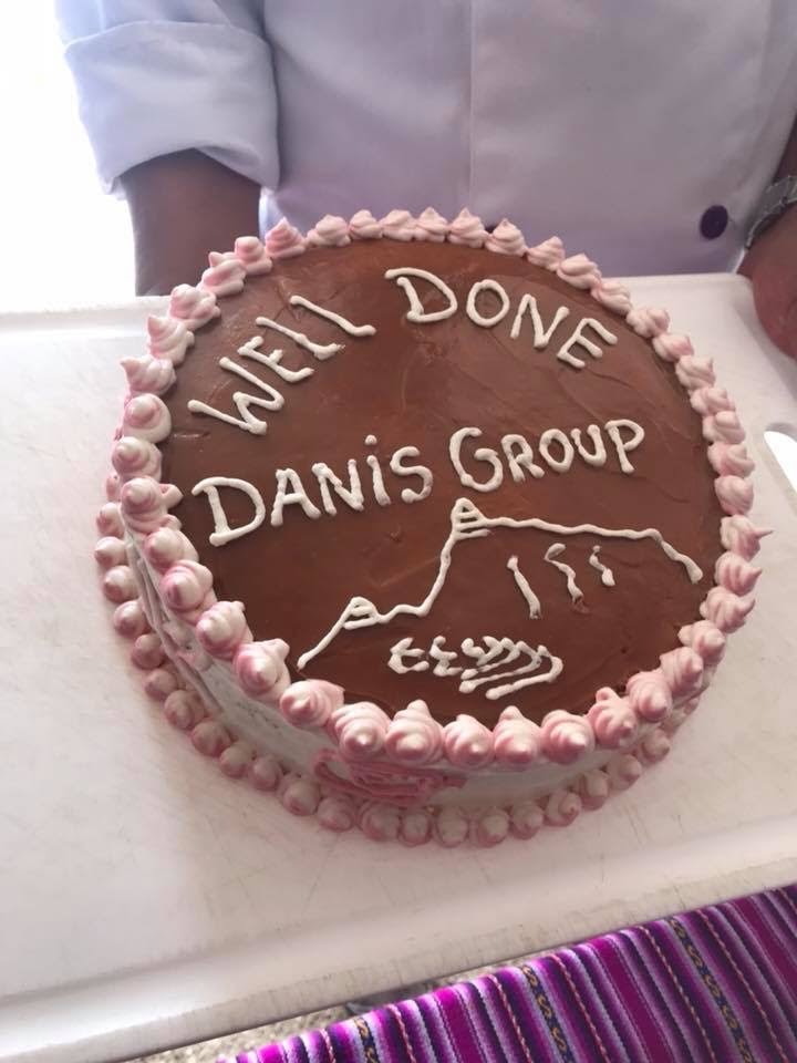
Lunch was the most amazing feast of local dishes – it felt a bit like the last 5 minutes of a fireworks display, where they set off everything that remains at the same time! We finished with a celebration cake baked at the lunch spot. I still can’t fathom how the chef does it!
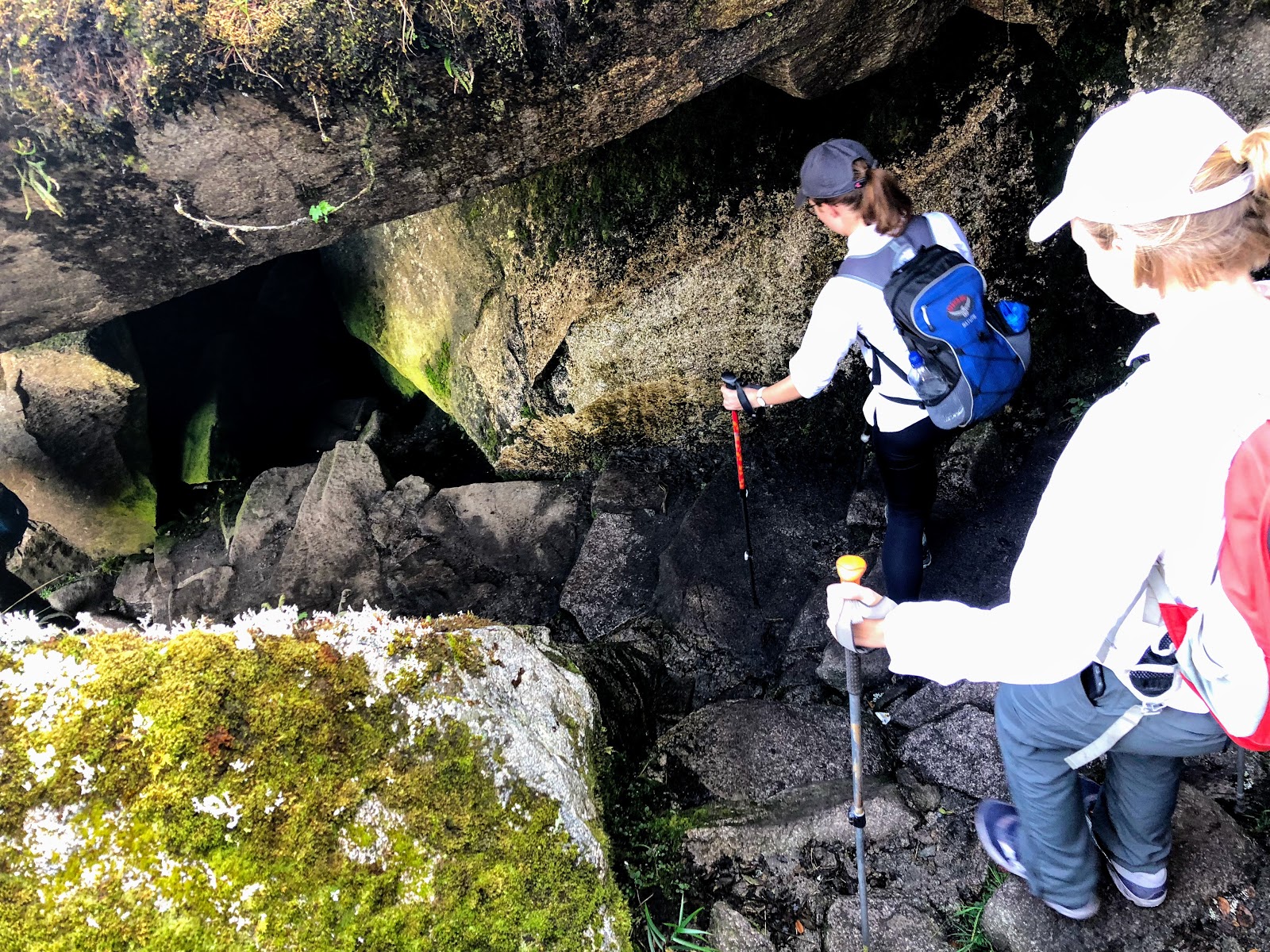
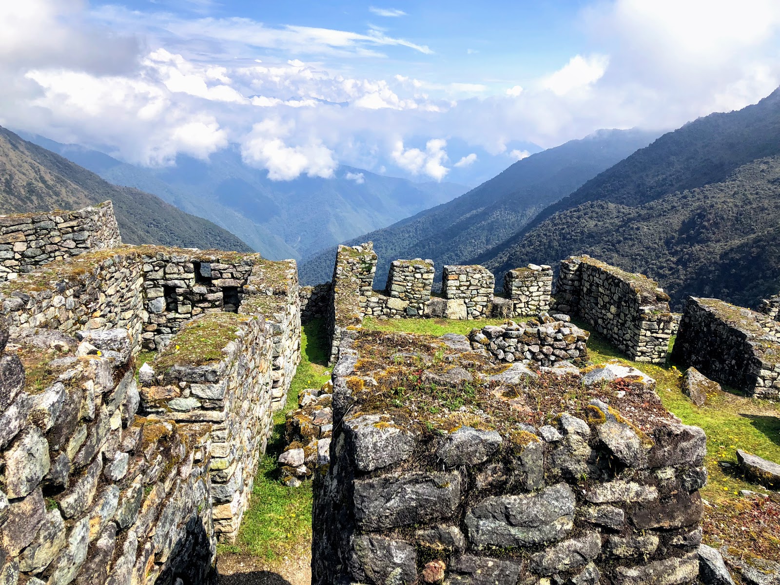
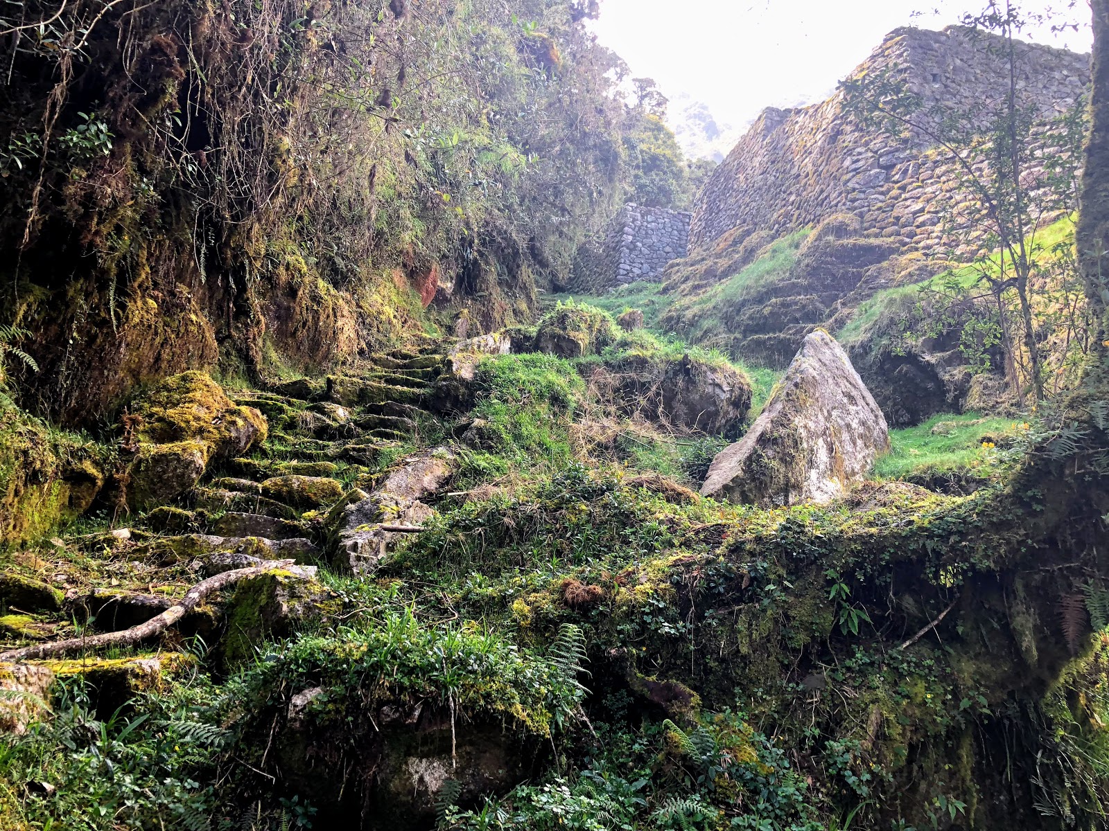
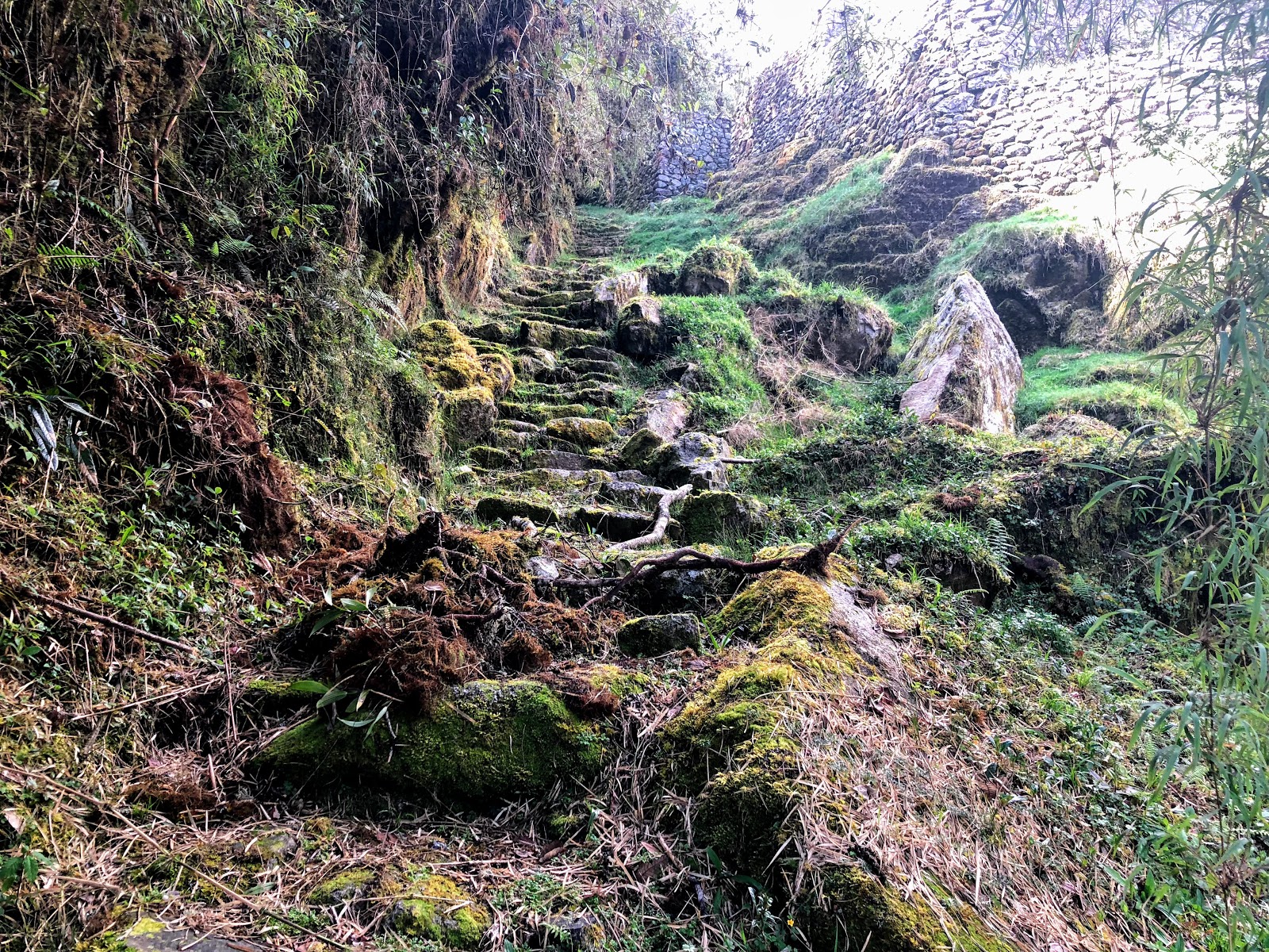
Our hike continued to Phuyupatamarka ‘Town in the clouds’. As the name suggests, it spends over 80% of the year in cloud! The paths in this section were pretty uneven, and had huge drop offs, with the view often hidden by clouds. This added a mental challenge to the physical!
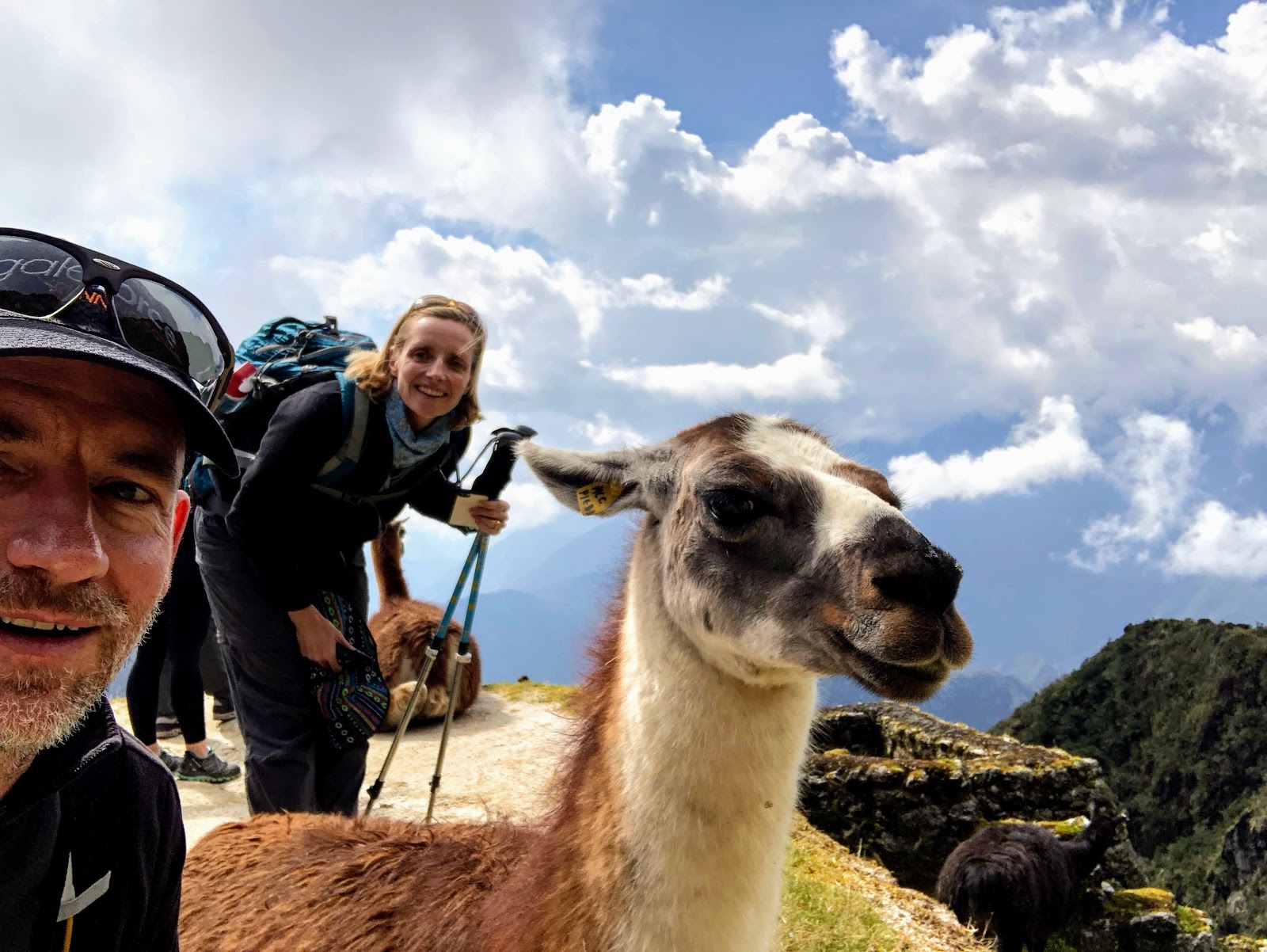
We managed to get close to the local llamas here – ‘Edison’ was very calm, and happy to partake in a selfie or two.
This is a sacred place at a high spot where they worshipped the four important mountains in the area. For the Inca people, these represented Pacha Mama, and were the source of water for the town. Again, the rare black llama was sacrificed here as an offering to Pacha Mama. From here, they would have also seen the Southern Cross – the most significant constellation for the Incas.
Historically there has been some question as to whether the Incas sacrificed humans. To date, the only evidence is at Arequipa, and at a couple of places where they would make an offering to avoid natural disasters or break the El Niño weather pattern.
Early archaeologists found human bones in places, which they believed belonged to young girls. They have now identified that these were burial sites of men and women – the Inca people were just small.
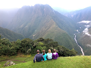
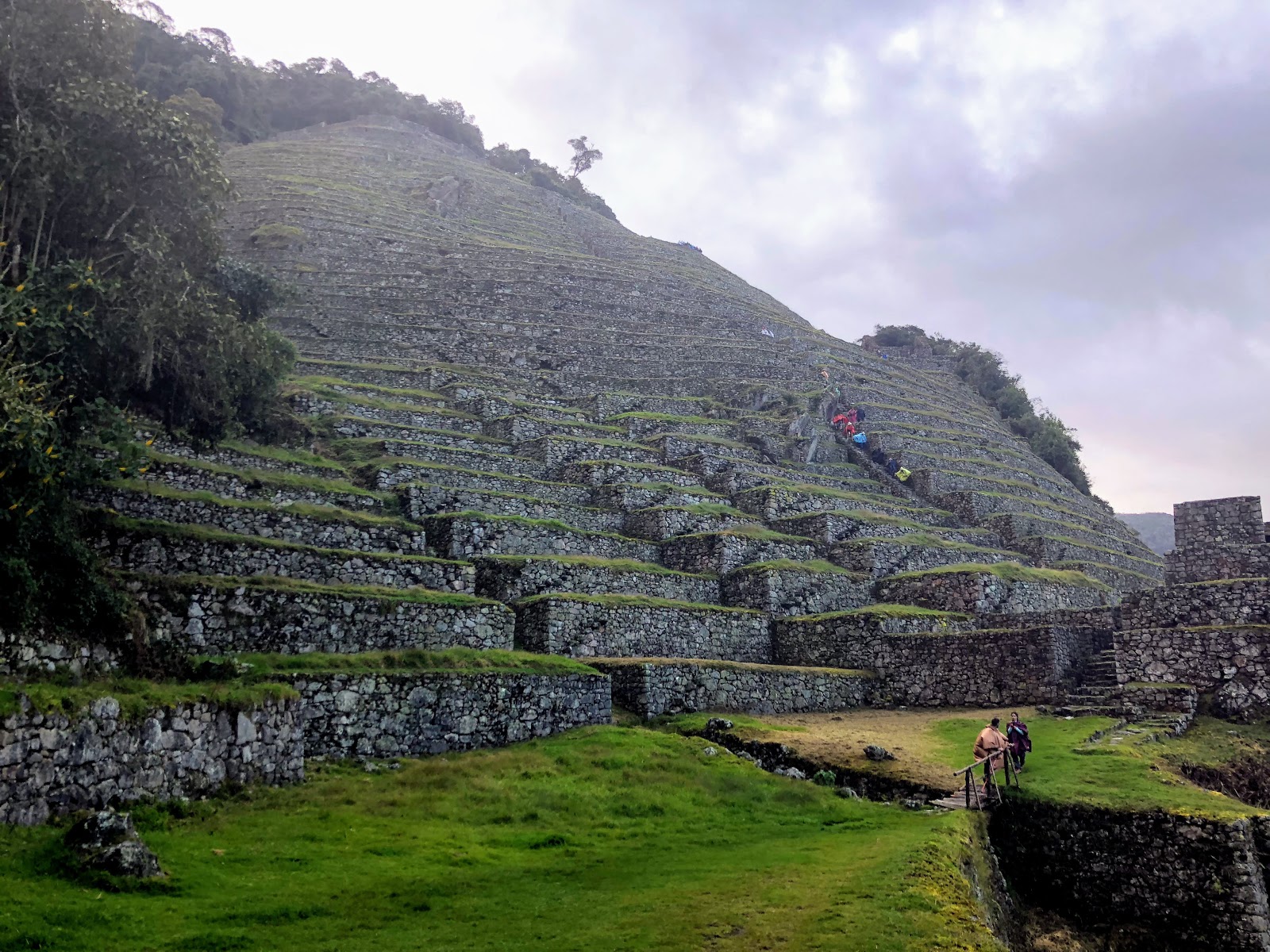
We descended down thousands of steep stairs, made slippery from the rain to our final site for the day at Intipata. This is a huge terraced site, with views for miles along the Sacred Valley, and the Valley leading to the Amazon jungle. It really felt like we were on the edge of the world.
Like all the terraces, these would have been used to maximise the space for agriculture. Each terrace was about 4m high, and 3m deep. There’s no way tourists would have been allowed to wander around and sit on the edge anywhere else!
We completed the final descent (more steep stairs!) to camp, arriving at about 5pm. A long day on the trail, made tough by rocky uneven terrain, and intermittent rain. We didn’t so much get into our tent, as collapse!
Tomorrow is our final hike to Machu Picchu. We’re up at 3:30 to join the queue at the checkpoint that opens at 5:30am. We said our farewells to the Porters who will pack up, and run the 2 hour path down the mountain to make a train at 5am. Something doesn’t add up, but apparently they make it!

Comments are closed